Distance to Maumee, Ohio

Calculating Your Route
Just a moment while we process your request...
Location Information
-
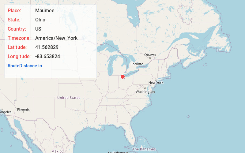
Full AddressMaumee, OH
-
Coordinates41.5628294, -83.6538244
-
LocationMaumee , Ohio , US
-
TimezoneAmerica/New_York
-
Current Local Time3:14:24 PM America/New_YorkSaturday, May 31, 2025
-
Website
-
Page Views0
About Maumee
Maumee is a city in Lucas County, Ohio, United States. Located along the Maumee River, it is a suburb about 10 miles southwest of Toledo. The population was 13,896 at the 2020 census. Maumee was declared an All-America City by the National Civic League in June 2006.


Nearby Places
Found 10 places within 50 miles

Perrysburg
1.4 mi
2.3 km
Perrysburg, OH 43551
Get directions

Toledo
8.6 mi
13.8 km
Toledo, OH
Get directions

Oregon
10.3 mi
16.6 km
Oregon, OH
Get directions

Sylvania
11.2 mi
18.0 km
Sylvania, OH
Get directions

Bowling Green
13.0 mi
20.9 km
Bowling Green, OH
Get directions

Monroe
27.8 mi
44.7 km
Monroe, MI
Get directions

Adrian
30.4 mi
48.9 km
Adrian, MI 49221
Get directions

Fremont
31.2 mi
50.2 km
Fremont, OH 43420
Get directions

Findlay
36.2 mi
58.3 km
Findlay, OH 45840
Get directions

Tiffin
39.6 mi
63.7 km
Tiffin, OH 44883
Get directions
Location Links
Local Weather
Weather Information
Coming soon!
Location Map
Static map view of Maumee, Ohio
Browse Places by Distance
Places within specific distances from Maumee
Short Distances
Long Distances
Click any distance to see all places within that range from Maumee. Distances shown in miles (1 mile ≈ 1.61 kilometers).