Distance to Avondale, Colorado

Calculating Your Route
Just a moment while we process your request...
Location Information
-
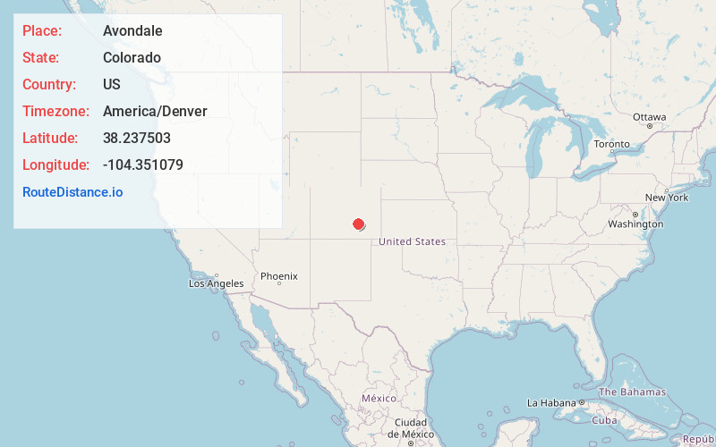
Full AddressAvondale, CO 81022
-
Coordinates38.2375025, -104.3510792
-
LocationAvondale , Colorado , US
-
TimezoneAmerica/Denver
-
Current Local Time12:59:21 AM America/DenverThursday, June 19, 2025
-
Page Views0
About Avondale
Avondale is a census-designated place and post office located in Pueblo County, Colorado, United States. The CDP is a part of the Pueblo, CO Metropolitan Statistical Area. The Avondale post office has the ZIP Code 81022.


Nearby Places
Found 10 places within 50 miles

Vineland
5.9 mi
9.5 km
Vineland, CO 81006
Get directions

Blende
11.8 mi
19.0 km
Blende, CO 81006
Get directions
Salt Creek
12.7 mi
20.4 km
Salt Creek, CO 81006
Get directions

Pueblo
14.2 mi
22.9 km
Pueblo, CO
Get directions

Fowler
19.3 mi
31.1 km
Fowler, CO 81039
Get directions

Pueblo West
22.1 mi
35.6 km
Pueblo West, CO
Get directions

Olney Springs
22.6 mi
36.4 km
Olney Springs, CO 81062
Get directions
Manzanola
27.8 mi
44.7 km
Manzanola, CO 81058
Get directions

Ordway
32.3 mi
52.0 km
Ordway, CO 81063
Get directions

Colorado City
33.2 mi
53.4 km
Colorado City, CO
Get directions
Location Links
Local Weather
Weather Information
Coming soon!
Location Map
Static map view of Avondale, Colorado
Browse Places by Distance
Places within specific distances from Avondale
Short Distances
Long Distances
Click any distance to see all places within that range from Avondale. Distances shown in miles (1 mile ≈ 1.61 kilometers).