Distance to Avondale, Rhode Island

Calculating Your Route
Just a moment while we process your request...
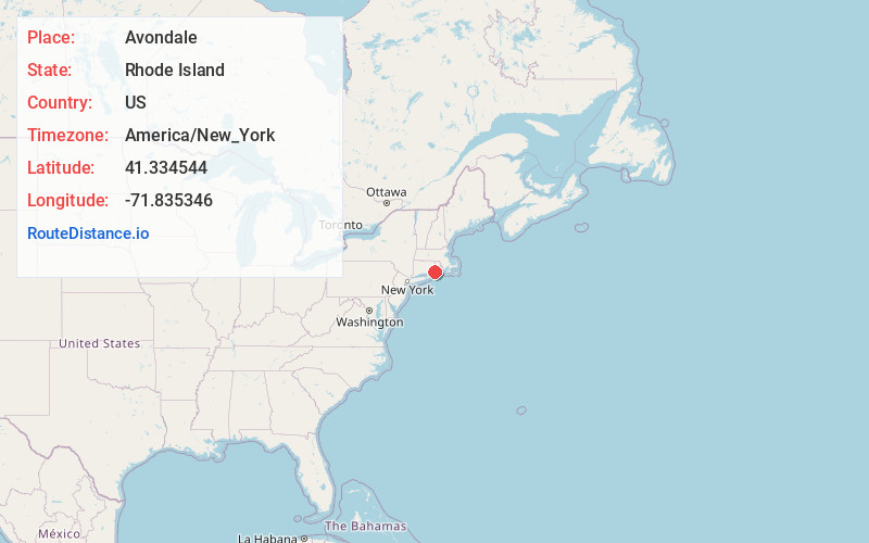
Location Information
-
Full AddressAvondale, Westerly, RI 02891
-
Coordinates41.3345442, -71.8353463
-
NeighborhoodAvondale
-
LocationWesterly , Rhode Island , US
-
TimezoneAmerica/New_York
-
Current Local Time5:26:47 AM America/New_YorkWednesday, June 18, 2025
-
Page Views0

Nearby Places
Found 10 places within 50 miles

Wequetequock Cove
2.6 mi
4.2 km
Wequetequock Cove, Stonington, CT
Get directions

Westerly
2.9 mi
4.7 km
Westerly, RI
Get directions

Stonington
3.7 mi
6.0 km
Stonington, CT
Get directions

Haversham
5.2 mi
8.4 km
Haversham, Westerly, RI 02891
Get directions
Shelter Harbor
5.5 mi
8.9 km
Shelter Harbor, Charlestown, RI 02891
Get directions
Shady Harbor
6.0 mi
9.7 km
Shady Harbor, Charlestown, RI 02813
Get directions

Quonochontaug Breachway
6.1 mi
9.8 km
Quonochontaug Breachway, Charlestown, RI 02813
Get directions

North Stonington
7.7 mi
12.4 km
North Stonington, CT
Get directions
Clarks Falls
8.5 mi
13.7 km
Clarks Falls, North Stonington, CT 06359
Get directions

Hopkinton
9.3 mi
15.0 km
Hopkinton, RI
Get directions
Location Links
Local Weather
Weather Information
Coming soon!
Location Map
Static map view of Avondale, Rhode Island
Browse Places by Distance
Places within specific distances from Avondale
Short Distances
Long Distances
Click any distance to see all places within that range from Avondale. Distances shown in miles (1 mile ≈ 1.61 kilometers).