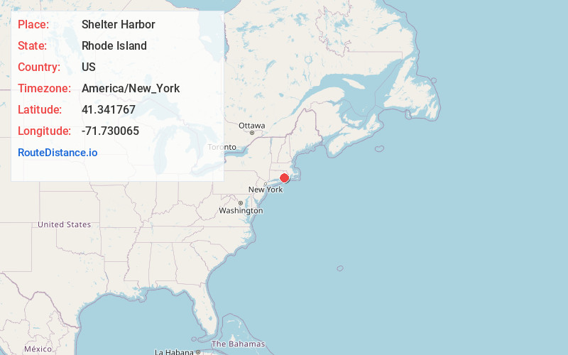
Distance to Shelter Harbor, Rhode Island

Calculating Your Route
Just a moment while we process your request...
Location Information
-
Full AddressShelter Harbor, Charlestown, RI 02891
-
Coordinates41.3417672, -71.730065
-
LocationCharlestown , Rhode Island , US
-
TimezoneAmerica/New_York
-
Current Local Time10:06:40 AM America/New_YorkMonday, June 23, 2025
-
Page Views0
Nearby Places
Found 10 places within 50 miles

Quonochontaug Breachway
0.9 mi
1.4 km
Quonochontaug Breachway, Charlestown, RI 02813
Get directions

Charlestown
5.4 mi
8.7 km
Charlestown, RI
Get directions

Westerly
5.7 mi
9.2 km
Westerly, RI
Get directions

Hopkinton
8.6 mi
13.8 km
Hopkinton, RI
Get directions

Richmond
11.0 mi
17.7 km
Richmond, RI
Get directions

South Kingstown
13.7 mi
22.0 km
South Kingstown, RI
Get directions

Quakertown
15.0 mi
24.1 km
Quakertown, Ledyard, CT 06339
Get directions

Narragansett
16.4 mi
26.4 km
Narragansett, RI
Get directions

Fishers Island
16.9 mi
27.2 km
Fishers Island, NY
Get directions

Exeter
18.2 mi
29.3 km
Exeter, RI
Get directions
Location Links
Local Weather
Weather Information
Coming soon!
Location Map
Static map view of Shelter Harbor, Rhode Island
Browse Places by Distance
Places within specific distances from Shelter Harbor
Short Distances
Long Distances
Click any distance to see all places within that range from Shelter Harbor. Distances shown in miles (1 mile ≈ 1.61 kilometers).