Distance to Fishers Island, New York

Calculating Your Route
Just a moment while we process your request...
Location Information
-
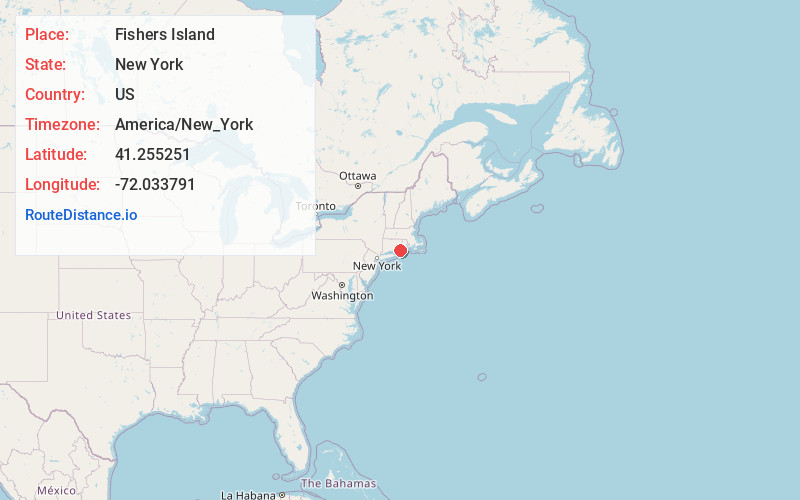
Full AddressFishers Island, NY
-
Coordinates41.2552507, -72.0337908
-
LocationFishers Island , New York , US
-
TimezoneAmerica/New_York
-
Current Local Time2:02:11 PM America/New_YorkFriday, May 30, 2025
-
Website
-
Page Views0
About Fishers Island
Fishers Island is an island that is part of Southold, New York, United States at the eastern end of Long Island Sound, 2 miles off the southeastern coast of Connecticut across Fishers Island Sound.


Nearby Places
Found 10 places within 50 miles

New London
7.7 mi
12.4 km
New London, CT
Get directions

Westerly
13.5 mi
21.7 km
Westerly, RI
Get directions

Montauk
15.7 mi
25.3 km
Montauk, NY 11954
Get directions

Quonochontaug Breachway
17.2 mi
27.7 km
Quonochontaug Breachway, Charlestown, RI 02813
Get directions

Springs
17.8 mi
28.6 km
Springs, NY 11937
Get directions

Napeague
17.9 mi
28.8 km
Napeague, NY
Get directions

East Marion
18.2 mi
29.3 km
East Marion, NY 11939
Get directions

Norwich
18.7 mi
30.1 km
Norwich, CT
Get directions

Hopkinton
19.5 mi
31.4 km
Hopkinton, RI
Get directions

Amagansett
20.3 mi
32.7 km
Amagansett, NY
Get directions
Location Links
Local Weather
Weather Information
Coming soon!
Location Map
Static map view of Fishers Island, New York
Browse Places by Distance
Places within specific distances from Fishers Island
Short Distances
Long Distances
Click any distance to see all places within that range from Fishers Island. Distances shown in miles (1 mile ≈ 1.61 kilometers).