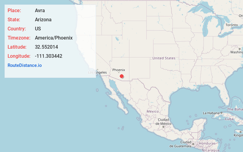
Distance to Avra, Arizona

Calculating Your Route
Just a moment while we process your request...
Location Information
-
Full AddressAvra, Red Rock, AZ 85658
-
Coordinates32.5520137, -111.3034422
-
NeighborhoodAvra
-
LocationRed Rock , Arizona , US
-
TimezoneAmerica/Phoenix
-
Current Local Time9:13:50 PM America/PhoenixSaturday, June 7, 2025
-
Page Views0
Nearby Places
Found 10 places within 50 miles

Red Rock
2.1 mi
3.4 km
Red Rock, AZ
Get directions

Naviska
5.0 mi
8.0 km
Naviska, Marana, AZ 85658
Get directions
Dobson
5.5 mi
8.9 km
Dobson, AZ 85653
Get directions

Avra Valley
7.9 mi
12.7 km
Avra Valley, AZ 85653
Get directions
Nelson
8.7 mi
14.0 km
Nelson, AZ 85653
Get directions

Marana
9.3 mi
15.0 km
Marana, AZ
Get directions

Wymola
9.4 mi
15.1 km
Wymola, AZ
Get directions

Rillito
12.8 mi
20.6 km
Rillito, AZ 85653
Get directions

Picture Rocks
14.6 mi
23.5 km
Picture Rocks, AZ
Get directions

Picacho
15.9 mi
25.6 km
Picacho, AZ
Get directions
Location Links
Local Weather
Weather Information
Coming soon!
Location Map
Static map view of Avra, Arizona
Browse Places by Distance
Places within specific distances from Avra
Short Distances
Long Distances
Click any distance to see all places within that range from Avra. Distances shown in miles (1 mile ≈ 1.61 kilometers).