Distance to Axton, Virginia

Calculating Your Route
Just a moment while we process your request...
Location Information
-
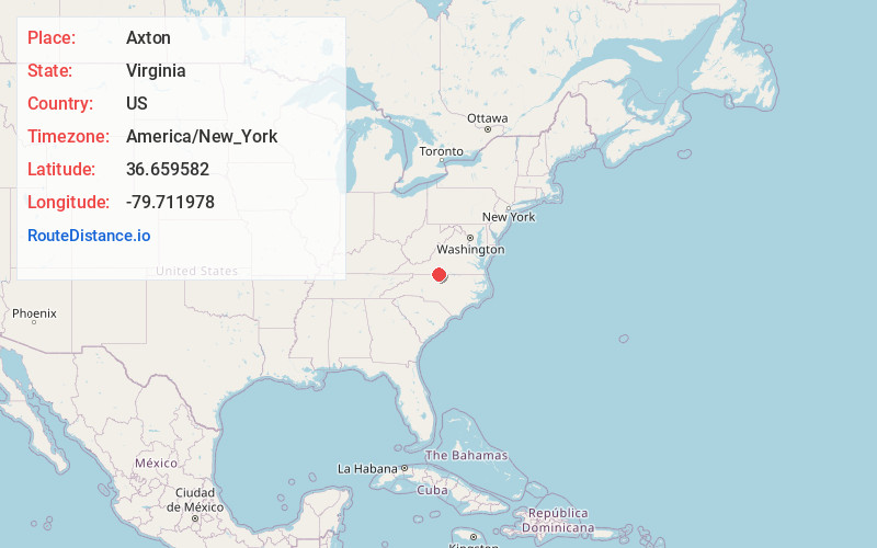
Full AddressAxton, VA 24054
-
Coordinates36.659582, -79.711978
-
LocationAxton , Virginia , US
-
TimezoneAmerica/New_York
-
Current Local Time1:57:01 AM America/New_YorkWednesday, June 18, 2025
-
Page Views0
About Axton
Axton is an unincorporated community in Henry County, Virginia, United States. Axton is located on U.S. Route 58, 9.2 miles east-southeast of Martinsville. Axton has a post office with ZIP code 24054, which opened on July 17, 1882. Axton Elementary School and Carlisle School is located in Axton.

Nearby Places
Found 10 places within 50 miles

Laurel Park
4.5 mi
7.2 km
Laurel Park, VA 24112
Get directions
Chatmoss
5.0 mi
8.0 km
Chatmoss, VA
Get directions
Leatherwood
5.9 mi
9.5 km
Leatherwood, VA 24112
Get directions

Sandy Level
6.3 mi
10.1 km
Sandy Level, VA
Get directions
Starlings Crossroads
7.1 mi
11.4 km
Starlings Crossroads, Sandy Level, VA 24054
Get directions

Martinsville
9.2 mi
14.8 km
Martinsville, VA 24112
Get directions

Ridgeway
9.9 mi
15.9 km
Ridgeway, VA 24148
Get directions
Hollys Mill
10.7 mi
17.2 km
Hollys Mill, VA 24530
Get directions
Villa Heights
11.0 mi
17.7 km
Villa Heights, VA 24112
Get directions

Collinsville
11.9 mi
19.2 km
Collinsville, VA
Get directions
Location Links
Local Weather
Weather Information
Coming soon!
Location Map
Static map view of Axton, Virginia
Browse Places by Distance
Places within specific distances from Axton
Short Distances
Long Distances
Click any distance to see all places within that range from Axton. Distances shown in miles (1 mile ≈ 1.61 kilometers).