Distance to Bacova Junction, Virginia

Calculating Your Route
Just a moment while we process your request...
Location Information
-
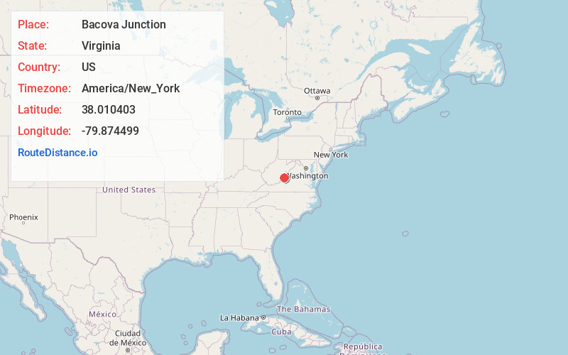
Full AddressBacova Junction, VA 24445
-
Coordinates38.0104031, -79.874499
-
LocationBacova Junction , Virginia , US
-
TimezoneAmerica/New_York
-
Current Local Time11:22:58 PM America/New_YorkSaturday, June 21, 2025
-
Page Views0
About Bacova Junction
Bacova Junction is an unincorporated community in Bath County, Virginia, in the United States.
Bacova Junction is situated 2.9 miles west of Hot Springs, and Virginia State Route 615 and Virginia State Route 687 converge at the community. Historically, Bacova Junction was known for its timber industry.
Nearby Places
Found 10 places within 50 miles

Crowdertown
1.3 mi
2.1 km
Crowdertown, Hot Springs, VA 24445
Get directions
Switch Back
1.7 mi
2.7 km
Switch Back, Hot Springs, VA 24445
Get directions
Thomastown
1.9 mi
3.1 km
Thomastown, Hot Springs, VA 24445
Get directions

Hot Springs
2.5 mi
4.0 km
Hot Springs, VA 24445
Get directions
Ashwood
2.9 mi
4.7 km
Ashwood, VA 24445
Get directions
Mitchelltown
3.4 mi
5.5 km
Mitchelltown, Hot Springs, VA 24445
Get directions

Bacova
3.4 mi
5.5 km
Bacova, VA 24412
Get directions
Healing Springs
3.5 mi
5.6 km
Healing Springs, VA 24445
Get directions
West Warm Springs
4.9 mi
7.9 km
West Warm Springs, VA 24484
Get directions

Warm Springs
5.2 mi
8.4 km
Warm Springs, VA 24484
Get directions
Location Links
Local Weather
Weather Information
Coming soon!
Location Map
Static map view of Bacova Junction, Virginia
Browse Places by Distance
Places within specific distances from Bacova Junction
Short Distances
Long Distances
Click any distance to see all places within that range from Bacova Junction. Distances shown in miles (1 mile ≈ 1.61 kilometers).