Distance to Mitchelltown, Virginia

Calculating Your Route
Just a moment while we process your request...
Location Information
-
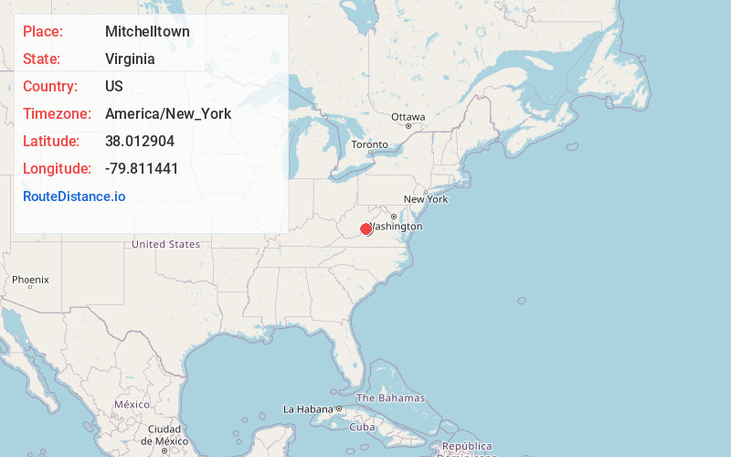
Full AddressMitchelltown, Hot Springs, VA 24445
-
Coordinates38.0129037, -79.8114408
-
LocationHot Springs , Virginia , US
-
TimezoneAmerica/New_York
-
Current Local Time1:36:05 AM America/New_YorkFriday, May 30, 2025
-
Page Views0
About Mitchelltown
Mitchelltown is an unincorporated community in Bath County, Virginia, in the United States. The community is located along U.S. Route 220, north of Hot Springs, Virginia and south of Warm Springs, Virginia. The community is the location of Valley Supermarket, making it a common artery of the Bath County community.
Nearby Places
Found 10 places within 50 miles

Hot Springs
1.4 mi
2.3 km
Hot Springs, VA 24445
Get directions

Warm Springs
2.6 mi
4.2 km
Warm Springs, VA 24484
Get directions

Mooretown
8.0 mi
12.9 km
Mooretown, VA 24484
Get directions

Millboro
11.7 mi
18.8 km
Millboro, VA 24460
Get directions

Clifton Forge
13.6 mi
21.9 km
Clifton Forge, VA 24422
Get directions

Minnehaha Springs
13.9 mi
22.4 km
Minnehaha Springs, WV 24954
Get directions
Burnsville
14.5 mi
23.3 km
Burnsville, VA 24487
Get directions

Selma
14.6 mi
23.5 km
Selma, VA
Get directions

Iron Gate
14.9 mi
24.0 km
Iron Gate, VA
Get directions

Low Moor
16.0 mi
25.7 km
Low Moor, VA
Get directions
Location Links
Local Weather
Weather Information
Coming soon!
Location Map
Static map view of Mitchelltown, Virginia
Browse Places by Distance
Places within specific distances from Mitchelltown
Short Distances
Long Distances
Click any distance to see all places within that range from Mitchelltown. Distances shown in miles (1 mile ≈ 1.61 kilometers).