Distance to Minnehaha Springs, West Virginia

Calculating Your Route
Just a moment while we process your request...
Location Information
-
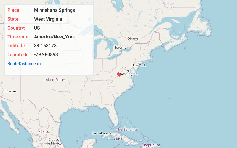
Full AddressMinnehaha Springs, WV 24954
-
Coordinates38.163178, -79.9808932
-
LocationMinnehaha Springs , West Virginia , US
-
TimezoneAmerica/New_York
-
Current Local Time11:23:08 PM America/New_YorkSaturday, June 21, 2025
-
Page Views0
About Minnehaha Springs
Minnehaha Springs is an unincorporated community located in Pocahontas County, West Virginia, United States. It was named for the fictional Native American "princess," Minnehaha, and the mineral springs on the Lockridge farm. It is the only community with this name in the United States.

Nearby Places
Found 10 places within 50 miles

Huntersville
2.6 mi
4.2 km
Huntersville, WV 24954
Get directions

Mooretown
5.9 mi
9.5 km
Mooretown, VA 24484
Get directions

Marlinton
7.4 mi
11.9 km
Marlinton, WV
Get directions
Onoto
10.1 mi
16.3 km
Onoto, Marlinton, WV 24954
Get directions

Hillsboro
12.8 mi
20.6 km
Hillsboro, WV
Get directions

Warm Springs
13.1 mi
21.1 km
Warm Springs, VA 24484
Get directions

Hot Springs
13.9 mi
22.4 km
Hot Springs, VA 24445
Get directions
Burnsville
18.1 mi
29.1 km
Burnsville, VA 24487
Get directions

Green Bank
19.5 mi
31.4 km
Green Bank, WV
Get directions

Arbovale
20.8 mi
33.5 km
Arbovale, WV 24915
Get directions
Location Links
Local Weather
Weather Information
Coming soon!
Location Map
Static map view of Minnehaha Springs, West Virginia
Browse Places by Distance
Places within specific distances from Minnehaha Springs
Short Distances
Long Distances
Click any distance to see all places within that range from Minnehaha Springs. Distances shown in miles (1 mile ≈ 1.61 kilometers).