Distance to Marlinton, West Virginia

Calculating Your Route
Just a moment while we process your request...
Location Information
-
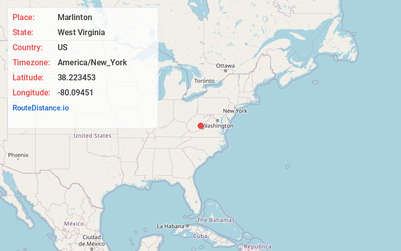
Full AddressMarlinton, WV
-
Coordinates38.2234533, -80.0945099
-
LocationMarlinton , West Virginia , US
-
TimezoneAmerica/New_York
-
Current Local Time12:12:05 PM America/New_YorkTuesday, June 24, 2025
-
Page Views0
About Marlinton
Marlinton is a town in and the county seat of Pocahontas County, West Virginia, United States. The population was 998 at the 2020 census. Located along the Greenbrier River, it is known for its scenery.


Nearby Places
Found 10 places within 50 miles

Richwood
23.8 mi
38.3 km
Richwood, WV 26261
Get directions

Covington
30.2 mi
48.6 km
Covington, VA 24426
Get directions

Craigsville
31.2 mi
50.2 km
Craigsville, WV 26205
Get directions

White Sulphur Springs
31.5 mi
50.7 km
White Sulphur Springs, WV 24986
Get directions

Clifton Forge
31.7 mi
51.0 km
Clifton Forge, VA 24422
Get directions

Lewisburg
34.8 mi
56.0 km
Lewisburg, WV 24901
Get directions

Fairlea
36.4 mi
58.6 km
Fairlea, WV
Get directions

Ronceverte
38.4 mi
61.8 km
Ronceverte, WV 24970
Get directions

Rainelle
40.6 mi
65.3 km
Rainelle, WV 25962
Get directions

Summersville
41.3 mi
66.5 km
Summersville, WV 26651
Get directions
Location Links
Local Weather
Weather Information
Coming soon!
Location Map
Static map view of Marlinton, West Virginia
Browse Places by Distance
Places within specific distances from Marlinton
Short Distances
Long Distances
Click any distance to see all places within that range from Marlinton. Distances shown in miles (1 mile ≈ 1.61 kilometers).