Distance to Low Moor, Virginia

Calculating Your Route
Just a moment while we process your request...
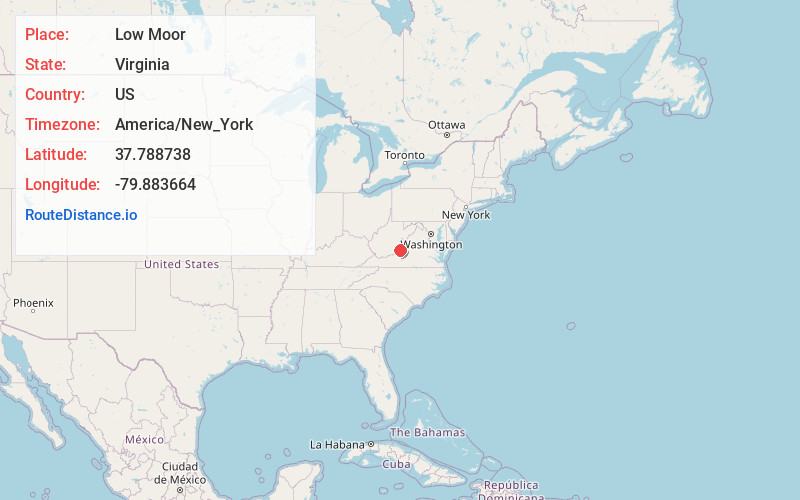
Location Information
-
Full AddressLow Moor, VA
-
Coordinates37.7887382, -79.8836637
-
LocationLow Moor , Virginia , US
-
TimezoneAmerica/New_York
-
Current Local Time6:44:27 PM America/New_YorkWednesday, July 2, 2025
-
Page Views0
About Low Moor
Low Moor is a census-designated place in Alleghany County, Virginia. The population was 258 at the 2010 census.

Nearby Places
Found 10 places within 50 miles

Selma
2.2 mi
3.5 km
Selma, VA
Get directions

Clifton Forge
3.7 mi
6.0 km
Clifton Forge, VA 24422
Get directions

Covington
6.0 mi
9.7 km
Covington, VA 24426
Get directions

Hot Springs
14.8 mi
23.8 km
Hot Springs, VA 24445
Get directions

Fincastle
20.0 mi
32.2 km
Fincastle, VA 24090
Get directions

Buchanan
21.2 mi
34.1 km
Buchanan, VA 24066
Get directions

White Sulphur Springs
22.6 mi
36.4 km
White Sulphur Springs, WV 24986
Get directions

Lexington
24.1 mi
38.8 km
Lexington, VA 24450
Get directions

East Lexington
25.0 mi
40.2 km
East Lexington, VA 24450
Get directions

Troutville
25.6 mi
41.2 km
Troutville, VA 24175
Get directions
Location Links
Local Weather
Weather Information
Coming soon!
Location Map
Static map view of Low Moor, Virginia
Browse Places by Distance
Places within specific distances from Low Moor
Short Distances
Long Distances
Click any distance to see all places within that range from Low Moor. Distances shown in miles (1 mile ≈ 1.61 kilometers).