Distance to Badger, California

Calculating Your Route
Just a moment while we process your request...
Location Information
-
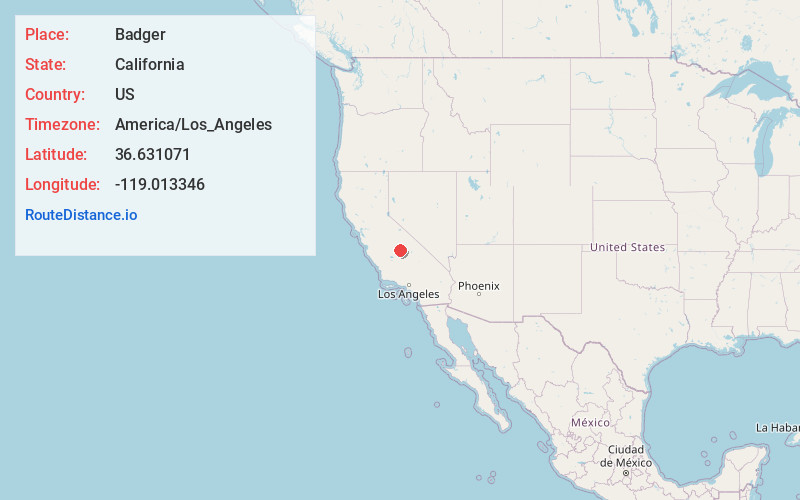
Full AddressBadger, CA
-
Coordinates36.6310707, -119.0133462
-
LocationBadger , California , US
-
TimezoneAmerica/Los_Angeles
-
Current Local Time5:20:47 PM America/Los_AngelesWednesday, July 2, 2025
-
Page Views0
About Badger
Badger is an unincorporated community located in Tulare County in California at an elevation of 3,038 feet. It has a population of 140. The zip code is 93603 and the area code 559. It is normally reached by California State Route 245.


Nearby Places
Found 10 places within 50 miles

Sierra Glen
0.9 mi
1.4 km
Sierra Glen, CA 93603
Get directions

Hartland
3.4 mi
5.5 km
Hartland, CA 93603
Get directions
Etheda Springs
4.4 mi
7.1 km
Etheda Springs, CA 93641
Get directions

Cedarbrook
5.2 mi
8.4 km
Cedarbrook, CA 93641
Get directions
Auckland
6.0 mi
9.7 km
Auckland, CA 93647
Get directions

Wilsonia
7.9 mi
12.7 km
Wilsonia, CA 93628
Get directions

Dunlap
9.5 mi
15.3 km
Dunlap, CA 93621
Get directions
Advance
10.1 mi
16.3 km
Advance, CA 93271
Get directions
Goodmill
10.4 mi
16.7 km
Goodmill, CA
Get directions
Elderwood
12.6 mi
20.3 km
Elderwood, CA 93286
Get directions
Location Links
Local Weather
Weather Information
Coming soon!
Location Map
Static map view of Badger, California
Browse Places by Distance
Places within specific distances from Badger
Short Distances
Long Distances
Click any distance to see all places within that range from Badger. Distances shown in miles (1 mile ≈ 1.61 kilometers).