Distance to Dunlap, California

Calculating Your Route
Just a moment while we process your request...
Location Information
-
Full AddressDunlap, CA 93621
-
Coordinates36.738281, -119.1209469
-
LocationDunlap , California , US
-
TimezoneAmerica/Los_Angeles
-
Current Local Time2:50:28 AM America/Los_AngelesSunday, June 22, 2025
-
Page Views0
About Dunlap
Dunlap is an unincorporated community in Fresno County, California. It lies at an elevation of 1,919 ft. It has a population of 131. It is located approximately 38 miles east of Fresno. In the 1800s Dunlap was a rest stop for passengers of the stage coach and a location for a change of horses.


Nearby Places
Found 10 places within 50 miles

Wilsonia
9.1 mi
14.6 km
Wilsonia, CA 93628
Get directions

Hartland
10.9 mi
17.5 km
Hartland, CA 93603
Get directions

Pine Flat Lake
12.5 mi
20.1 km
Pine Flat Lake, California 93657
Get directions

Orange Cove
13.3 mi
21.4 km
Orange Cove, CA 93646
Get directions

Trimmer
15.0 mi
24.1 km
Trimmer, CA 93657
Get directions
Navelencia
15.1 mi
24.3 km
Navelencia, CA 93654
Get directions

East Orosi
15.3 mi
24.6 km
East Orosi, CA 93647
Get directions

Piedra
15.3 mi
24.6 km
Piedra, CA 93657
Get directions

Orosi
16.2 mi
26.1 km
Orosi, CA 93647
Get directions
Gravesboro
16.3 mi
26.2 km
Gravesboro, CA 93657
Get directions
Location Links
Local Weather
Weather Information
Coming soon!
Location Map
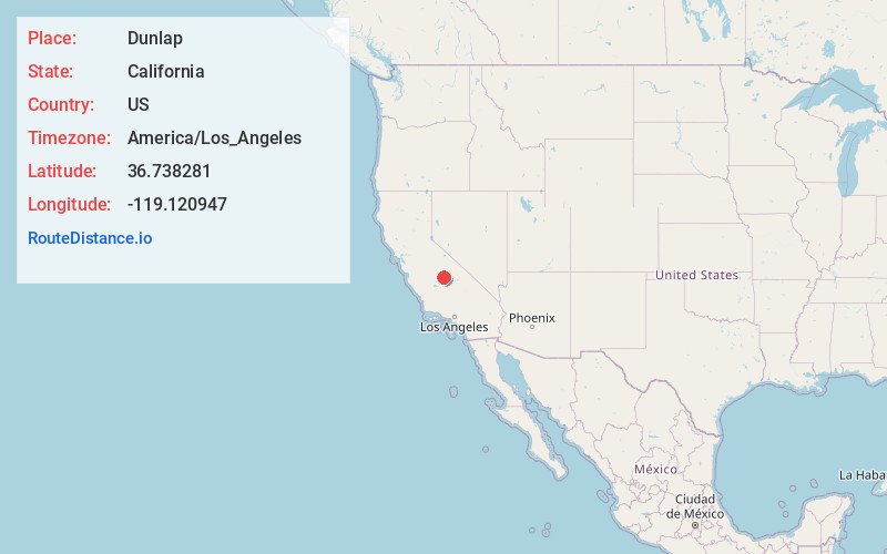
Static map view of Dunlap, California
Browse Places by Distance
Places within specific distances from Dunlap
Short Distances
Long Distances
Click any distance to see all places within that range from Dunlap. Distances shown in miles (1 mile ≈ 1.61 kilometers).