Distance to Piedra, California

Calculating Your Route
Just a moment while we process your request...
Location Information
-
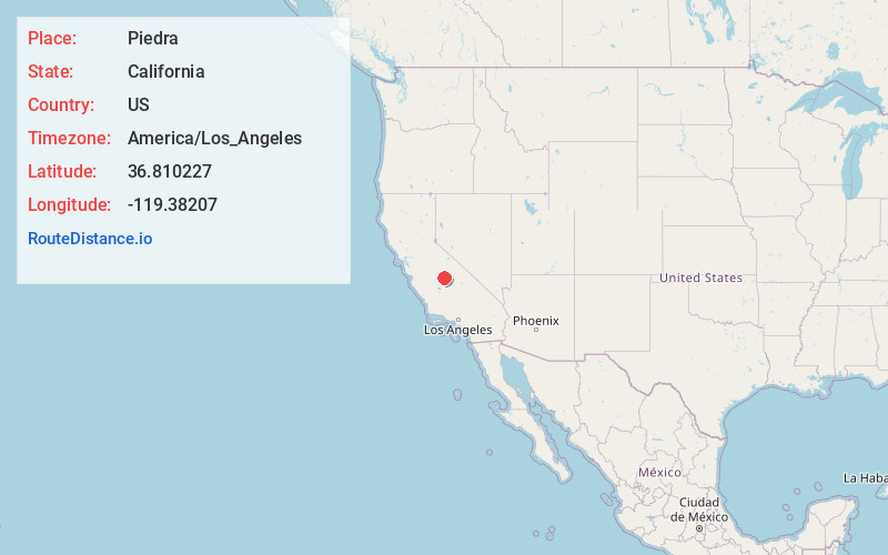
Full AddressPiedra, CA 93657
-
Coordinates36.8102272, -119.3820698
-
LocationPiedra , California , US
-
TimezoneAmerica/Los_Angeles
-
Current Local Time3:47:25 AM America/Los_AngelesSaturday, June 7, 2025
-
Page Views0
About Piedra
Piedra is an unincorporated community in Fresno County, California. It is located on the south bank of the Kings River 23 miles east of Fresno, at an elevation of 538 feet.


Nearby Places
Found 10 places within 50 miles

Pine Flat Lake
6.3 mi
10.1 km
Pine Flat Lake, California 93657
Get directions

Minkler
7.3 mi
11.7 km
Minkler, CA 93657
Get directions

Centerville
8.3 mi
13.4 km
Centerville, CA 93657
Get directions
Navelencia
8.8 mi
14.2 km
Navelencia, CA 93654
Get directions
Humphreys Station
10.9 mi
17.5 km
Humphreys Station, CA 93667
Get directions

Sanger
11.9 mi
19.2 km
Sanger, CA
Get directions

Orange Cove
13.4 mi
21.6 km
Orange Cove, CA 93646
Get directions
Clotho
13.9 mi
22.4 km
Clotho, CA 93657
Get directions

Tollhouse
14.5 mi
23.3 km
Tollhouse, CA 93667
Get directions

Reedley
15.3 mi
24.6 km
Reedley, CA
Get directions
Location Links
Local Weather
Weather Information
Coming soon!
Location Map
Static map view of Piedra, California
Browse Places by Distance
Places within specific distances from Piedra
Short Distances
Long Distances
Click any distance to see all places within that range from Piedra. Distances shown in miles (1 mile ≈ 1.61 kilometers).