Distance to Tollhouse, California

Calculating Your Route
Just a moment while we process your request...
Location Information
-
Full AddressTollhouse, CA 93667
-
Coordinates37.0190155, -119.3991908
-
LocationTollhouse , California , US
-
TimezoneAmerica/Los_Angeles
-
Current Local Time1:16:07 PM America/Los_AngelesSunday, May 25, 2025
-
Page Views0
About Tollhouse
Tollhouse is an unincorporated community in Fresno County, California. It lies at an elevation of 1,919 feet. Tollhouse is located in the Sierra Nevada, 7 miles southwest of Shaver Lake and 18 miles southwest of Huntington Lake. It is home to 2,089 people.


Nearby Places
Found 10 places within 50 miles

Humphreys Station
4.7 mi
7.6 km
Humphreys Station, CA 93667
Get directions

Auberry
6.4 mi
10.3 km
Auberry, CA
Get directions

Prather
6.5 mi
10.5 km
Prather, CA 93651
Get directions

Shaver Lake
7.5 mi
12.1 km
Shaver Lake, CA
Get directions

Pine Flat Lake
12.6 mi
20.3 km
Pine Flat Lake, California 93657
Get directions

Big Creek
15.4 mi
24.8 km
Big Creek, CA 93605
Get directions

North Fork
15.8 mi
25.4 km
North Fork, CA
Get directions

Millerton Lake
16.1 mi
25.9 km
Millerton Lake, California 93626
Get directions

Friant
17.4 mi
28.0 km
Friant, CA 93626
Get directions
Minkler
20.4 mi
32.8 km
Minkler, CA 93657
Get directions
Location Links
Local Weather
Weather Information
Coming soon!
Location Map
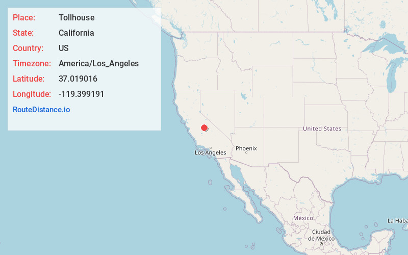
Static map view of Tollhouse, California
Browse Places by Distance
Places within specific distances from Tollhouse
Short Distances
Long Distances
Click any distance to see all places within that range from Tollhouse. Distances shown in miles (1 mile ≈ 1.61 kilometers).