Distance to Baker, California

Calculating Your Route
Just a moment while we process your request...
Location Information
-
Full AddressBaker, CA
-
Coordinates35.2675155, -116.0739073
-
LocationBaker , California , US
-
TimezoneAmerica/Los_Angeles
-
Current Local Time1:45:46 PM America/Los_AngelesSunday, May 25, 2025
-
Page Views0
About Baker
Baker is a census-designated place located in San Bernardino County, California, US. As of the 2020 census, the CDP had a total population of 442. Baker's ZIP Code is 92309 and the community is within area codes 442 and 760.


Nearby Places


Location Links
Local Weather
Weather Information
Coming soon!
Location Map
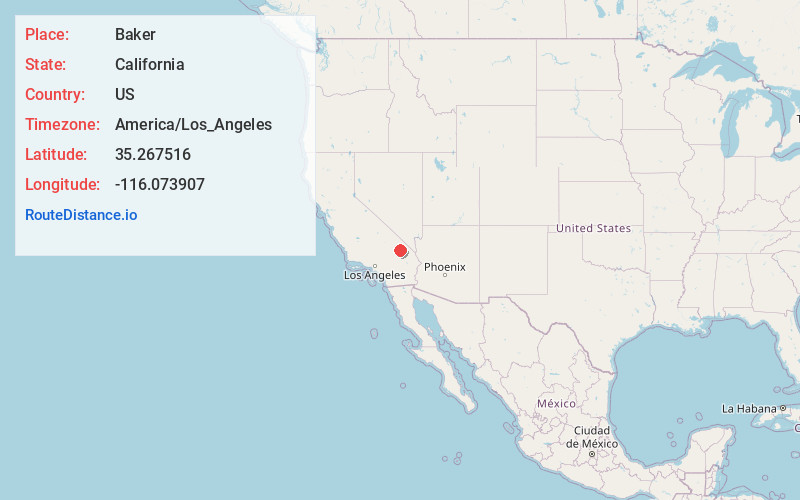
Static map view of Baker, California
Browse Places by Distance
Places within specific distances from Baker
Short Distances
Long Distances
Click any distance to see all places within that range from Baker. Distances shown in miles (1 mile ≈ 1.61 kilometers).