Distance to Yermo, California

Calculating Your Route
Just a moment while we process your request...
Location Information
-
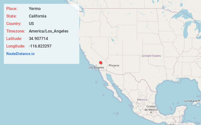
Full AddressYermo, CA
-
Coordinates34.9077144, -116.8232967
-
LocationYermo , California , US
-
TimezoneAmerica/Los_Angeles
-
Current Local Time8:39:10 PM America/Los_AngelesThursday, June 19, 2025
-
Page Views0
About Yermo
Yermo is an unincorporated town and census-designated place in the Mojave Desert in San Bernardino County, California. It is 13 miles east of Barstow on Interstate 15, just south of the Calico Mountains.


Nearby Places
Found 10 places within 50 miles

Barstow
11.0 mi
17.7 km
Barstow, CA
Get directions

Lenwood
16.3 mi
26.2 km
Lenwood, CA 92311
Get directions

Fort Irwin
25.8 mi
41.5 km
Fort Irwin, CA 92310
Get directions

Helendale
31.8 mi
51.2 km
Helendale, CA 92342
Get directions

Lucerne Valley
33.1 mi
53.3 km
Lucerne Valley, CA 92356
Get directions

Apple Valley
34.9 mi
56.2 km
Apple Valley, CA
Get directions

Victorville
37.0 mi
59.5 km
Victorville, CA
Get directions

Adelanto
40.1 mi
64.5 km
Adelanto, CA
Get directions

Mountain View Acres
41.2 mi
66.3 km
Mountain View Acres, CA 92392
Get directions

Hesperia
43.6 mi
70.2 km
Hesperia, CA
Get directions
Location Links
Local Weather
Weather Information
Coming soon!
Location Map
Static map view of Yermo, California
Browse Places by Distance
Places within specific distances from Yermo
Short Distances
Long Distances
Click any distance to see all places within that range from Yermo. Distances shown in miles (1 mile ≈ 1.61 kilometers).