Distance to Helendale, California

Calculating Your Route
Just a moment while we process your request...
Location Information
-
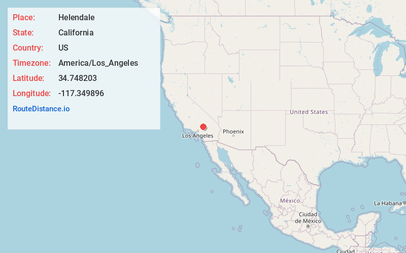
Full AddressHelendale, CA 92342
-
Coordinates34.7482031, -117.3498955
-
LocationHelendale , California , US
-
TimezoneAmerica/Los_Angeles
-
Current Local Time2:11:42 PM America/Los_AngelesTuesday, June 17, 2025
-
Page Views0
About Helendale
Helendale or Silver Lakes is an unincorporated community and census-designated place located in the Victor Valley of the Mojave Desert, within San Bernardino County, California.
It is on historic Route 66, west of the Mojave Freeway, between Barstow and Victorville.


Nearby Places
Found 10 places within 50 miles

Adelanto
11.9 mi
19.2 km
Adelanto, CA
Get directions

Victorville
15.0 mi
24.1 km
Victorville, CA
Get directions

Apple Valley
19.5 mi
31.4 km
Apple Valley, CA
Get directions

Barstow
21.4 mi
34.4 km
Barstow, CA
Get directions

Hesperia
22.5 mi
36.2 km
Hesperia, CA
Get directions

Oak Hills
22.7 mi
36.5 km
Oak Hills, CA
Get directions

Phelan
25.6 mi
41.2 km
Phelan, CA 92371
Get directions

Lake Los Angeles
28.7 mi
46.2 km
Lake Los Angeles, CA
Get directions

Lucerne Valley
30.3 mi
48.8 km
Lucerne Valley, CA 92356
Get directions

Crestline
35.2 mi
56.6 km
Crestline, CA
Get directions
Location Links
Local Weather
Weather Information
Coming soon!
Location Map
Static map view of Helendale, California
Browse Places by Distance
Places within specific distances from Helendale
Short Distances
Long Distances
Click any distance to see all places within that range from Helendale. Distances shown in miles (1 mile ≈ 1.61 kilometers).