Distance to Bakersfield, Missouri

Calculating Your Route
Just a moment while we process your request...
Location Information
-
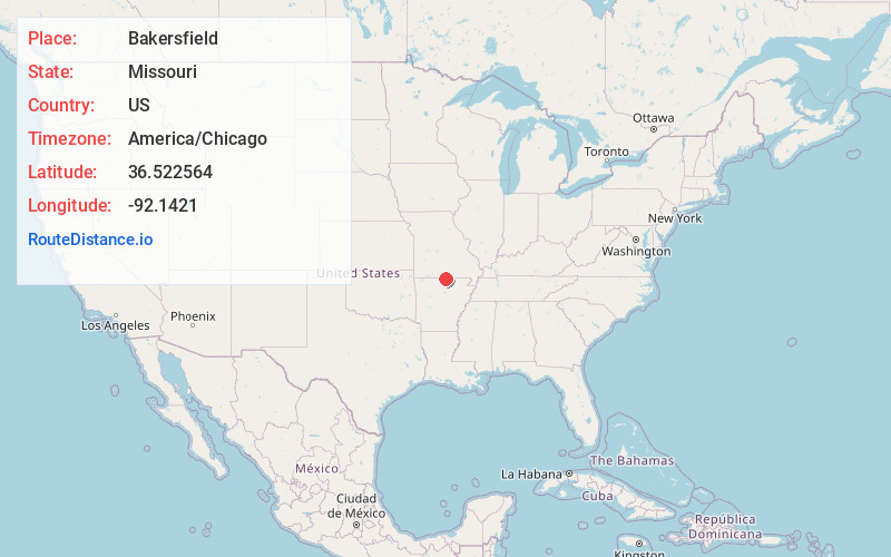
Full AddressBakersfield, MO 65626
-
Coordinates36.5225638, -92.1420999
-
LocationBakersfield , Missouri , US
-
TimezoneAmerica/Chicago
-
Current Local Time11:15:54 PM America/ChicagoWednesday, June 4, 2025
-
Page Views0
About Bakersfield
Bakersfield is a village in southeastern Ozark County in the Ozarks of southern Missouri, United States. The population was 186 at the 2020 census.


Nearby Places
Found 10 places within 50 miles

Henderson
10.9 mi
17.5 km
Henderson, AR
Get directions
Viola
12.4 mi
20.0 km
Viola, AR 72583
Get directions

Gainesville
16.8 mi
27.0 km
Gainesville, MO 65655
Get directions

Mountain Home
18.5 mi
29.8 km
Mountain Home, AR
Get directions
Midway
20.1 mi
32.3 km
Midway, AR
Get directions

Salesville
20.3 mi
32.7 km
Salesville, AR 72653
Get directions

Salem
20.6 mi
33.2 km
Salem, AR 72576
Get directions

West Plains
21.4 mi
34.4 km
West Plains, MO 65775
Get directions

Norfork
23.0 mi
37.0 km
Norfork, AR
Get directions

Oxford
24.0 mi
38.6 km
Oxford, AR
Get directions
Location Links
Local Weather
Weather Information
Coming soon!
Location Map
Static map view of Bakersfield, Missouri
Browse Places by Distance
Places within specific distances from Bakersfield
Short Distances
Long Distances
Click any distance to see all places within that range from Bakersfield. Distances shown in miles (1 mile ≈ 1.61 kilometers).