Distance to Bald Eagle Center, Minnesota

Calculating Your Route
Just a moment while we process your request...
Location Information
-
Full AddressBald Eagle Center, MN 56633
-
Coordinates47.401065, -94.4188578
-
LocationBald Eagle Center , Minnesota , US
-
TimezoneAmerica/Chicago
-
Current Local Time7:22:38 AM America/ChicagoSaturday, June 28, 2025
-
Page Views0
Nearby Places
Found 10 places within 50 miles

Ryan Village
6.7 mi
10.8 km
Ryan Village, MN 56626
Get directions

Cass Lake
8.8 mi
14.2 km
Cass Lake, MN 56633
Get directions

Bena
10.7 mi
17.2 km
Bena, MN 56626
Get directions

Wilkinson Township
11.9 mi
19.2 km
Wilkinson Township, MN
Get directions
Andrusia
12.9 mi
20.8 km
Andrusia, MN 56601
Get directions
Farris
13.4 mi
21.6 km
Farris, MN 56633
Get directions

Federal Dam
14.5 mi
23.3 km
Federal Dam, MN 56641
Get directions
Rosby
18.1 mi
29.1 km
Rosby, MN 56601
Get directions
Dunbar
19.9 mi
32.0 km
Dunbar, MN 56630
Get directions
Lavinia
20.0 mi
32.2 km
Lavinia, MN 56601
Get directions
Location Links
Local Weather
Weather Information
Coming soon!
Location Map
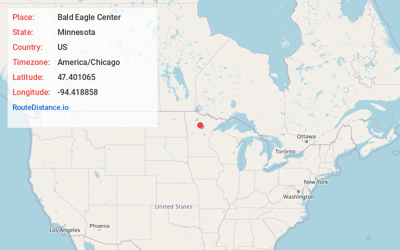
Static map view of Bald Eagle Center, Minnesota
Browse Places by Distance
Places within specific distances from Bald Eagle Center
Short Distances
Long Distances
Click any distance to see all places within that range from Bald Eagle Center. Distances shown in miles (1 mile ≈ 1.61 kilometers).