Distance to Dunbar, Minnesota

Calculating Your Route
Just a moment while we process your request...
Location Information
-
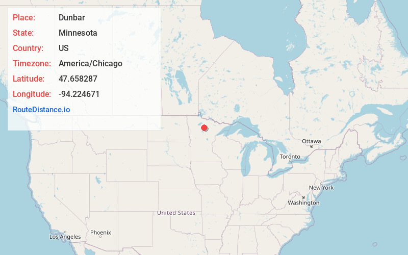
Full AddressDunbar, MN 56630
-
Coordinates47.6582868, -94.2246705
-
LocationDunbar , Minnesota , US
-
TimezoneAmerica/Chicago
-
Current Local Time1:36:40 AM America/ChicagoSaturday, June 21, 2025
-
Page Views0
About Dunbar
Dunbar is an unincorporated community in Good Hope Township, Itasca County, Minnesota, United States. The community is located northwest of Squaw Lake at the junction of Itasca County Roads 32 and 149. State Highway 46 is nearby.
Nearby places include Max, Squaw Lake, Alvwood, Northome, and Blackduck.
Nearby Places
Found 10 places within 50 miles

Squaw Lake
4.5 mi
7.2 km
Squaw Lake, MN
Get directions

Funkley
12.9 mi
20.8 km
Funkley, MN 56630
Get directions

Inger
13.3 mi
21.4 km
Inger, MN 56636
Get directions

Wirt
13.3 mi
21.4 km
Wirt, MN 56659
Get directions

Northome
15.0 mi
24.1 km
Northome, MN 56661
Get directions

Blackduck
15.9 mi
25.6 km
Blackduck, MN
Get directions
Mizpah
18.4 mi
29.6 km
Mizpah, MN
Get directions

Tenstrike
20.9 mi
33.6 km
Tenstrike, MN
Get directions
Talmoon
21.4 mi
34.4 km
Talmoon, MN 56628
Get directions

Bena
22.0 mi
35.4 km
Bena, MN 56626
Get directions
Location Links
Local Weather
Weather Information
Coming soon!
Location Map
Static map view of Dunbar, Minnesota
Browse Places by Distance
Places within specific distances from Dunbar
Short Distances
Long Distances
Click any distance to see all places within that range from Dunbar. Distances shown in miles (1 mile ≈ 1.61 kilometers).