Distance to Mizpah, Minnesota

Calculating Your Route
Just a moment while we process your request...
Location Information
-
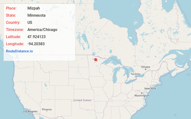
Full AddressMizpah, MN
-
Coordinates47.9241227, -94.2038304
-
LocationMizpah , Minnesota , US
-
TimezoneAmerica/Chicago
-
Current Local Time2:32:12 AM America/ChicagoSaturday, June 21, 2025
-
Page Views0
About Mizpah
Mizpah is a city in Koochiching County, Minnesota, United States. Its population was 58 at the 2020 census.
U.S. Highway 71 and County Road 36 are two of the main routes in Mizpah.
Nearby Places
Found 10 places within 50 miles

Northome
5.0 mi
8.0 km
Northome, MN 56661
Get directions

Kelliher
11.4 mi
18.3 km
Kelliher, MN 56650
Get directions

Funkley
14.3 mi
23.0 km
Funkley, MN 56630
Get directions

Squaw Lake
20.4 mi
32.8 km
Squaw Lake, MN
Get directions

Blackduck
20.7 mi
33.3 km
Blackduck, MN
Get directions

Big Falls
26.0 mi
41.8 km
Big Falls, MN 56627
Get directions

Effie
26.6 mi
42.8 km
Effie, MN 56639
Get directions

Inger
27.5 mi
44.3 km
Inger, MN 56636
Get directions

Bigfork
28.4 mi
45.7 km
Bigfork, MN 56628
Get directions

Tenstrike
28.6 mi
46.0 km
Tenstrike, MN
Get directions
Location Links
Local Weather
Weather Information
Coming soon!
Location Map
Static map view of Mizpah, Minnesota
Browse Places by Distance
Places within specific distances from Mizpah
Short Distances
Long Distances
Click any distance to see all places within that range from Mizpah. Distances shown in miles (1 mile ≈ 1.61 kilometers).