Distance to Bigfork, Minnesota

Calculating Your Route
Just a moment while we process your request...
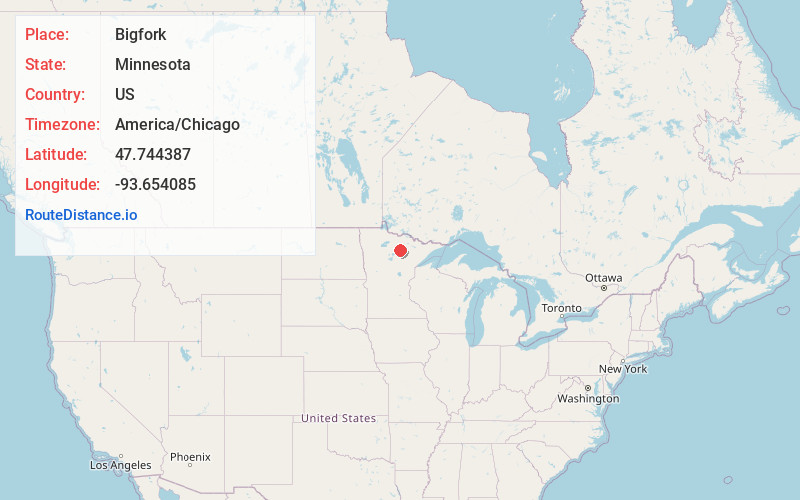
Location Information
-
Full AddressBigfork, MN 56628
-
Coordinates47.7443867, -93.6540847
-
LocationBigfork , Minnesota , US
-
TimezoneAmerica/Chicago
-
Current Local Time10:20:29 PM America/ChicagoThursday, June 19, 2025
-
Page Views0
About Bigfork
Bigfork is a city in Itasca County, Minnesota, United States. The population was 400 at the 2020 census. Scenic State Park is nearby.
Minnesota State Highway 38 serves as a main route in the community. State Highways 1 and 6 are nearby.


Nearby Places
Found 10 places within 50 miles

Deer River
29.2 mi
47.0 km
Deer River, MN 56636
Get directions

Taconite
32.4 mi
52.1 km
Taconite, MN
Get directions

Bovey
32.9 mi
52.9 km
Bovey, MN 55709
Get directions

Coleraine
33.2 mi
53.4 km
Coleraine, MN
Get directions

Cohasset
33.2 mi
53.4 km
Cohasset, MN
Get directions

Marble
33.7 mi
54.2 km
Marble, MN
Get directions

Nashwauk
33.9 mi
54.6 km
Nashwauk, MN
Get directions

Grand Rapids
35.6 mi
57.3 km
Grand Rapids, MN 55744
Get directions

Keewatin
36.0 mi
57.9 km
Keewatin, MN
Get directions

La Prairie
36.5 mi
58.7 km
La Prairie, MN 55744
Get directions
Location Links
Local Weather
Weather Information
Coming soon!
Location Map
Static map view of Bigfork, Minnesota
Browse Places by Distance
Places within specific distances from Bigfork
Short Distances
Long Distances
Click any distance to see all places within that range from Bigfork. Distances shown in miles (1 mile ≈ 1.61 kilometers).