Distance to Keewatin, Minnesota

Calculating Your Route
Just a moment while we process your request...
Location Information
-
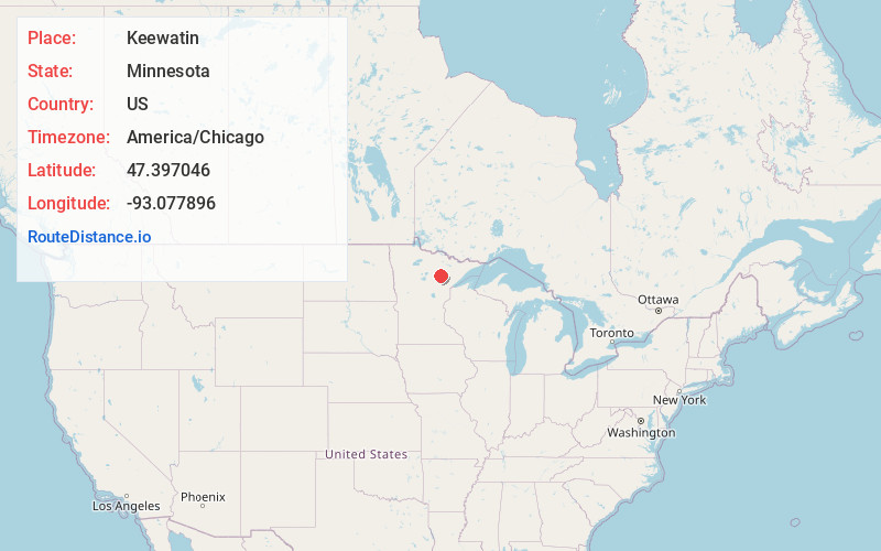
Full AddressKeewatin, MN
-
Coordinates47.3970464, -93.0778962
-
LocationKeewatin , Minnesota , US
-
TimezoneAmerica/Chicago
-
Current Local Time1:10:44 PM America/ChicagoSunday, May 25, 2025
-
Page Views0
About Keewatin
Keewatin is a city in Itasca County, Minnesota, United States. The population was 984 at the 2020 census.
U.S. Highway 169 serves as a main route in Keewatin. Students from the Keewatin area attend Nashwauk Keewatin High School.


Nearby Places
Found 10 places within 50 miles

Hibbing
6.9 mi
11.1 km
Hibbing, MN
Get directions

Chisholm
11.1 mi
17.9 km
Chisholm, MN 55719
Get directions

Coleraine
18.0 mi
29.0 km
Coleraine, MN
Get directions

Mountain Iron
23.2 mi
37.3 km
Mountain Iron, MN
Get directions

Grand Rapids
23.8 mi
38.3 km
Grand Rapids, MN 55744
Get directions

Eveleth
25.6 mi
41.2 km
Eveleth, MN 55734
Get directions

Virginia
26.8 mi
43.1 km
Virginia, MN
Get directions

Cohasset
27.1 mi
43.6 km
Cohasset, MN
Get directions

Gilbert
29.3 mi
47.2 km
Gilbert, MN
Get directions

Aurora
40.3 mi
64.9 km
Aurora, MN
Get directions
Location Links
Local Weather
Weather Information
Coming soon!
Location Map
Static map view of Keewatin, Minnesota
Browse Places by Distance
Places within specific distances from Keewatin
Short Distances
Long Distances
Click any distance to see all places within that range from Keewatin. Distances shown in miles (1 mile ≈ 1.61 kilometers).