Distance to Talmoon, Minnesota

Calculating Your Route
Just a moment while we process your request...
Location Information
-
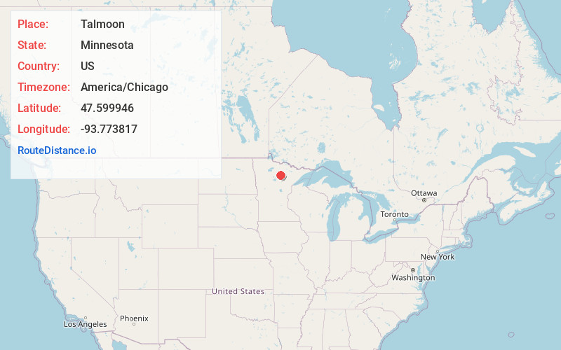
Full AddressTalmoon, MN 56628
-
Coordinates47.599946, -93.7738169
-
LocationTalmoon , Minnesota , US
-
TimezoneAmerica/Chicago
-
Current Local Time9:58:21 PM America/ChicagoWednesday, June 18, 2025
-
Page Views0
About Talmoon
Talmoon is an unincorporated community in Itasca County, Minnesota, United States.
The community is located between Deer River and Big Falls at the junction of
State Highways 6 and 286; and Itasca County Road 4.
Talmoon is located along the boundary line between Lake Jessie Township and Marcell Township.
Nearby Places
Found 10 places within 50 miles

Inger
10.3 mi
16.6 km
Inger, MN 56636
Get directions

Bigfork
11.4 mi
18.3 km
Bigfork, MN 56628
Get directions

Squaw Lake
17.0 mi
27.4 km
Squaw Lake, MN
Get directions

Effie
17.7 mi
28.5 km
Effie, MN 56639
Get directions

Deer River
18.5 mi
29.8 km
Deer River, MN 56636
Get directions

Ball Club Lake
18.6 mi
29.9 km
Ball Club Lake, Bowstring Lake, MN 56636
Get directions

Zemple
19.1 mi
30.7 km
Zemple, MN 56636
Get directions

Cohasset
24.3 mi
39.1 km
Cohasset, MN
Get directions

Bovey
26.9 mi
43.3 km
Bovey, MN 55709
Get directions

Coleraine
26.9 mi
43.3 km
Coleraine, MN
Get directions
Location Links
Local Weather
Weather Information
Coming soon!
Location Map
Static map view of Talmoon, Minnesota
Browse Places by Distance
Places within specific distances from Talmoon
Short Distances
Long Distances
Click any distance to see all places within that range from Talmoon. Distances shown in miles (1 mile ≈ 1.61 kilometers).