Distance to Zemple, Minnesota

Calculating Your Route
Just a moment while we process your request...
Location Information
-
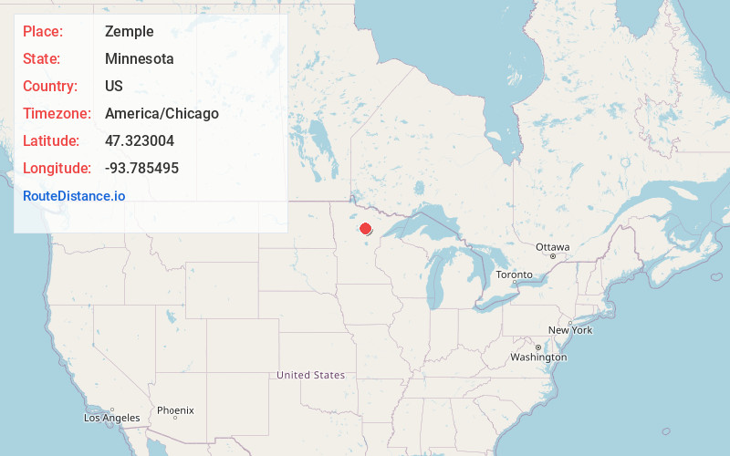
Full AddressZemple, MN 56636
-
Coordinates47.3230044, -93.7854952
-
LocationZemple , Minnesota , US
-
TimezoneAmerica/Chicago
-
Current Local Time9:34:59 AM America/ChicagoMonday, June 23, 2025
-
Page Views0
About Zemple
Zemple is a city in Itasca County, Minnesota, United States. The population was 78 at the 2020 census.

Nearby Places
Found 10 places within 50 miles

Deer River
0.8 mi
1.3 km
Deer River, MN 56636
Get directions

Ball Club Lake
7.9 mi
12.7 km
Ball Club Lake, Bowstring Lake, MN 56636
Get directions

Cohasset
8.7 mi
14.0 km
Cohasset, MN
Get directions

Grand Rapids
13.4 mi
21.6 km
Grand Rapids, MN 55744
Get directions

La Prairie
15.4 mi
24.8 km
La Prairie, MN 55744
Get directions

Coleraine
16.9 mi
27.2 km
Coleraine, MN
Get directions

Bovey
17.4 mi
28.0 km
Bovey, MN 55709
Get directions

Taconite
18.9 mi
30.4 km
Taconite, MN
Get directions

Remer
19.4 mi
31.2 km
Remer, MN 56672
Get directions

Bena
19.8 mi
31.9 km
Bena, MN 56626
Get directions
Location Links
Local Weather
Weather Information
Coming soon!
Location Map
Static map view of Zemple, Minnesota
Browse Places by Distance
Places within specific distances from Zemple
Short Distances
Long Distances
Click any distance to see all places within that range from Zemple. Distances shown in miles (1 mile ≈ 1.61 kilometers).