Distance to Baldwin, North Dakota

Calculating Your Route
Just a moment while we process your request...
Location Information
-
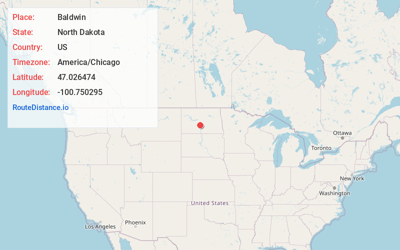
Full AddressBaldwin, ND 58521
-
Coordinates47.0264744, -100.750295
-
LocationBaldwin , North Dakota , US
-
TimezoneAmerica/Chicago
-
Current Local Time12:52:00 AM America/ChicagoWednesday, June 18, 2025
-
Page Views0
About Baldwin
Baldwin is an unincorporated community in western Burleigh County, North Dakota, United States. It lies along U.S. Route 83 north of the city of Bismarck, the county seat of Burleigh County. Baldwin's elevation is 1,939 feet. Baldwin has a post office with the ZIP code 58521.

Nearby Places
Found 10 places within 50 miles

Arnold
7.1 mi
11.4 km
Arnold, ND 58503
Get directions

Wilton
9.3 mi
15.0 km
Wilton, ND 58579
Get directions
Price
9.9 mi
15.9 km
Price, ND 58530
Get directions
Still
10.7 mi
17.2 km
Still, ND 58579
Get directions
Harmon
11.3 mi
18.2 km
Harmon, ND 58554
Get directions
Rock Haven
12.4 mi
20.0 km
Rock Haven, ND 58554
Get directions
Regan
13.9 mi
22.4 km
Regan, ND 58477
Get directions

Mandan
15.3 mi
24.6 km
Mandan, ND 58554
Get directions

Bismarck
15.5 mi
24.9 km
Bismarck, ND
Get directions
Sanger
15.7 mi
25.3 km
Sanger, ND 58530
Get directions
Location Links
Local Weather
Weather Information
Coming soon!
Location Map
Static map view of Baldwin, North Dakota
Browse Places by Distance
Places within specific distances from Baldwin
Short Distances
Long Distances
Click any distance to see all places within that range from Baldwin. Distances shown in miles (1 mile ≈ 1.61 kilometers).