Distance to Sanger, North Dakota

Calculating Your Route
Just a moment while we process your request...
Location Information
-
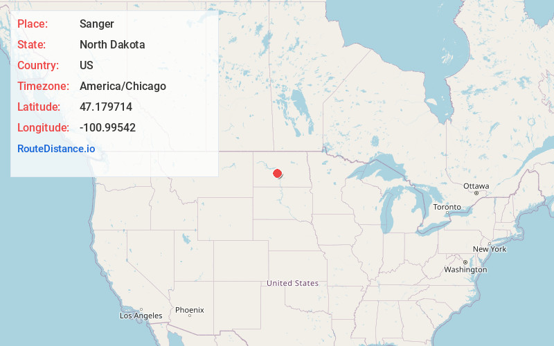
Full AddressSanger, ND 58530
-
Coordinates47.1797142, -100.9954197
-
LocationSanger , North Dakota , US
-
TimezoneAmerica/Chicago
-
Current Local Time12:45:53 AM America/ChicagoMonday, June 2, 2025
-
Page Views0
About Sanger
Sanger is an unincorporated community and former ghost town in Oliver County, North Dakota, United States. The population in 2023 was 2; there are no businesses or services.
Founded in 1879, the town was originally known as Bentley. The town declined during the 20th century, and was fully abandoned by 1985.
Nearby Places
Found 10 places within 50 miles

Merida
5.3 mi
8.5 km
Merida, ND 58577
Get directions
Hensler
7.0 mi
11.3 km
Hensler, ND 58530
Get directions

Washburn
7.7 mi
12.4 km
Washburn, ND 58577
Get directions

Wilton
10.1 mi
16.3 km
Wilton, ND 58579
Get directions
Fort Clark
12.7 mi
20.4 km
Fort Clark, ND 58530
Get directions

Falkirk
13.4 mi
21.6 km
Falkirk, ND 58577
Get directions

Center
14.9 mi
24.0 km
Center, ND 58530
Get directions
Harmon
16.1 mi
25.9 km
Harmon, ND 58554
Get directions
Still
16.9 mi
27.2 km
Still, ND 58579
Get directions

Underwood
20.2 mi
32.5 km
Underwood, ND 58576
Get directions
Location Links
Local Weather
Weather Information
Coming soon!
Location Map
Static map view of Sanger, North Dakota
Browse Places by Distance
Places within specific distances from Sanger
Short Distances
Long Distances
Click any distance to see all places within that range from Sanger. Distances shown in miles (1 mile ≈ 1.61 kilometers).