Distance to Fort Clark, North Dakota

Calculating Your Route
Just a moment while we process your request...
Location Information
-
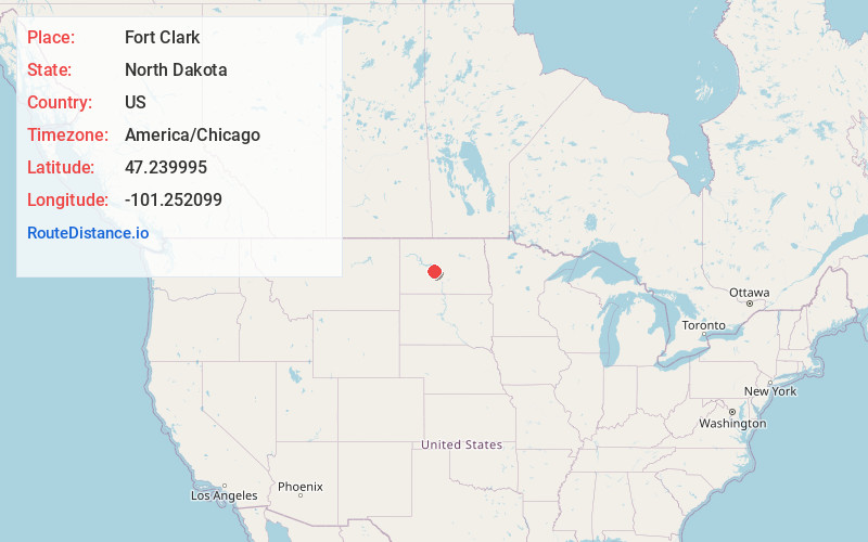
Full AddressFort Clark, ND 58530
-
Coordinates47.2399952, -101.2520988
-
LocationFort Clark , North Dakota , US
-
TimezoneAmerica/Chicago
-
Current Local Time12:26:42 AM America/ChicagoFriday, June 20, 2025
-
Page Views0
Nearby Places
Found 10 places within 50 miles

Stanton
8.3 mi
13.4 km
Stanton, ND 58571
Get directions

Center
8.8 mi
14.2 km
Center, ND 58530
Get directions

Washburn
11.0 mi
17.7 km
Washburn, ND 58577
Get directions

Underwood
15.9 mi
25.6 km
Underwood, ND 58576
Get directions

Hazen
17.8 mi
28.6 km
Hazen, ND 58545
Get directions

Riverdale
18.6 mi
29.9 km
Riverdale, ND
Get directions
Otter Creek
19.3 mi
31.1 km
Otter Creek, North Dakota
Get directions
Pick City
21.0 mi
33.8 km
Pick City, ND 58545
Get directions
Coleharbor
21.1 mi
34.0 km
Coleharbor, ND 58531
Get directions

Wilton
22.7 mi
36.5 km
Wilton, ND 58579
Get directions
Location Links
Local Weather
Weather Information
Coming soon!
Location Map
Static map view of Fort Clark, North Dakota
Browse Places by Distance
Places within specific distances from Fort Clark
Short Distances
Long Distances
Click any distance to see all places within that range from Fort Clark. Distances shown in miles (1 mile ≈ 1.61 kilometers).