Distance to Baldwin County, Alabama

Calculating Your Route
Just a moment while we process your request...
Location Information
-
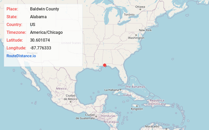
Full AddressBaldwin County, AL
-
Coordinates30.6010744, -87.7763333
-
LocationAlabama , US
-
TimezoneAmerica/Chicago
-
Current Local Time5:30:50 PM America/ChicagoMonday, June 2, 2025
-
Page Views0
About Baldwin County
Baldwin County is a county located in the southwestern part of the U.S. state of Alabama, on the Gulf coast. It is one of only two counties in Alabama that border the Gulf of Mexico, along with Mobile County. As of the 2020 census, the population was 231,767, making it the fourth-most populous county in Alabama.


Nearby Places
Found 10 places within 50 miles

Loxley
1.8 mi
2.9 km
Loxley, AL
Get directions

Silverhill
4.1 mi
6.6 km
Silverhill, AL 36576
Get directions

Rosinton
5.1 mi
8.2 km
Rosinton, AL 36567
Get directions

Robertsdale
5.6 mi
9.0 km
Robertsdale, AL
Get directions

Montrose Historic District
7.4 mi
11.9 km
Montrose Historic District, AL 36532
Get directions

Daphne
7.6 mi
12.2 km
Daphne, AL
Get directions
Jackson Oak
8.2 mi
13.2 km
Jackson Oak, Daphne, AL 36526
Get directions
Park City
8.6 mi
13.8 km
Park City, Daphne, AL 36526
Get directions

Summerdale
9.1 mi
14.6 km
Summerdale, AL
Get directions

Spanish Fort
9.3 mi
15.0 km
Spanish Fort, AL
Get directions
Location Links
Local Weather
Weather Information
Coming soon!
Location Map
Static map view of Baldwin County, Alabama
Browse Places by Distance
Places within specific distances from Baldwin County
Short Distances
Long Distances
Click any distance to see all places within that range from Baldwin County. Distances shown in miles (1 mile ≈ 1.61 kilometers).