Distance to Summerdale, Alabama

Calculating Your Route
Just a moment while we process your request...
Location Information
-
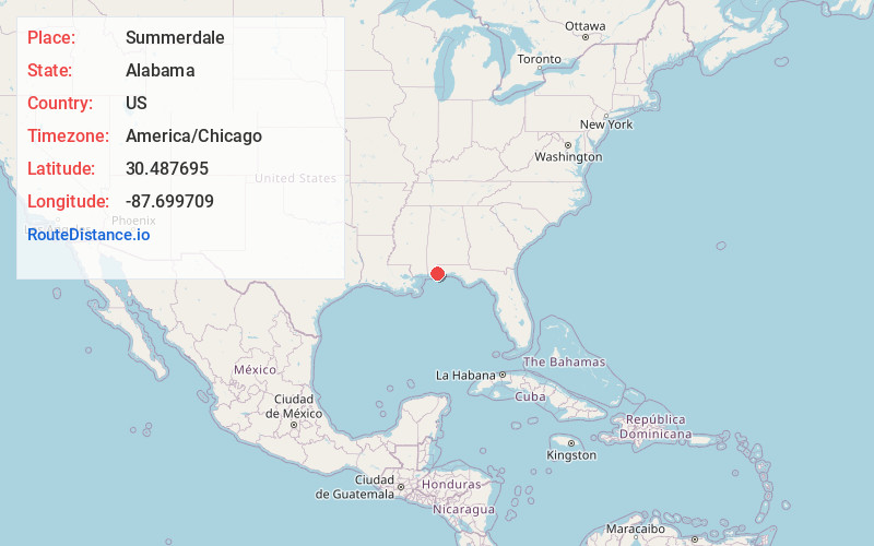
Full AddressSummerdale, AL
-
Coordinates30.4876954, -87.6997094
-
LocationSummerdale , Alabama , US
-
TimezoneAmerica/Chicago
-
Current Local Time9:55:17 AM America/ChicagoSunday, June 1, 2025
-
Page Views0
About Summerdale
Summerdale is a rural town in south-central Baldwin County, Alabama, United States. It is the site of the Naval Outlying Landing Field Summerdale. At the 2020 census, the population was 1,468. It is part of the Daphne–Fairhope–Foley Metropolitan Statistical Area.


Nearby Places
Found 10 places within 50 miles

Robertsdale
4.0 mi
6.4 km
Robertsdale, AL
Get directions

Foley
5.7 mi
9.2 km
Foley, AL
Get directions

Elberta
7.9 mi
12.7 km
Elberta, AL 36530
Get directions

Loxley
9.6 mi
15.4 km
Loxley, AL
Get directions

Bon Secour
12.0 mi
19.3 km
Bon Secour, AL
Get directions

Fairhope
12.4 mi
20.0 km
Fairhope, AL 36532
Get directions

Point Clear
13.1 mi
21.1 km
Point Clear, AL 36532
Get directions

Daphne
14.5 mi
23.3 km
Daphne, AL
Get directions

Orange Beach
16.5 mi
26.6 km
Orange Beach, AL
Get directions

Lillian
16.5 mi
26.6 km
Lillian, AL 36549
Get directions
Location Links
Local Weather
Weather Information
Coming soon!
Location Map
Static map view of Summerdale, Alabama
Browse Places by Distance
Places within specific distances from Summerdale
Short Distances
Long Distances
Click any distance to see all places within that range from Summerdale. Distances shown in miles (1 mile ≈ 1.61 kilometers).