Distance to Lillian, Alabama

Calculating Your Route
Just a moment while we process your request...
Location Information
-
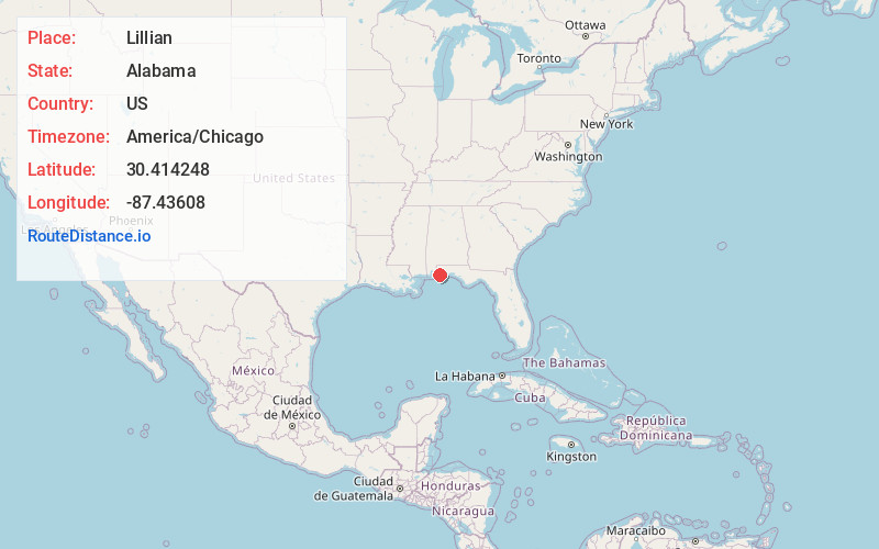
Full AddressLillian, AL 36549
-
Coordinates30.4142478, -87.4360804
-
LocationLillian , Alabama , US
-
TimezoneAmerica/Chicago
-
Current Local Time5:02:47 AM America/ChicagoWednesday, June 18, 2025
-
Page Views0
About Lillian
Lillian is an unincorporated community and census-designated place in eastern Baldwin County, Alabama, United States. Lillian is located on U.S. Route 98 on the western shore of Perdido Bay, 9.5 miles east of Elberta. Its eastern edge lies on the Alabama/Florida state line.


Nearby Places
Found 10 places within 50 miles

Myrtle Grove
7.7 mi
12.4 km
Myrtle Grove, FL
Get directions

Bellview
7.9 mi
12.7 km
Bellview, FL
Get directions

West Pensacola
9.4 mi
15.1 km
West Pensacola, FL
Get directions

Elberta
9.6 mi
15.4 km
Elberta, AL 36530
Get directions
Warrington
9.8 mi
15.8 km
Warrington, FL
Get directions
Ensley
12.1 mi
19.5 km
Ensley, FL
Get directions
Goulding
12.5 mi
20.1 km
Goulding, FL
Get directions

Brent
12.5 mi
20.1 km
Brent, FL
Get directions

Pensacola
12.9 mi
20.8 km
Pensacola, FL
Get directions

Orange Beach
13.4 mi
21.6 km
Orange Beach, AL
Get directions
Location Links
Local Weather
Weather Information
Coming soon!
Location Map
Static map view of Lillian, Alabama
Browse Places by Distance
Places within specific distances from Lillian
Short Distances
Long Distances
Click any distance to see all places within that range from Lillian. Distances shown in miles (1 mile ≈ 1.61 kilometers).