Distance to Ensley, Florida

Calculating Your Route
Just a moment while we process your request...
Location Information
-
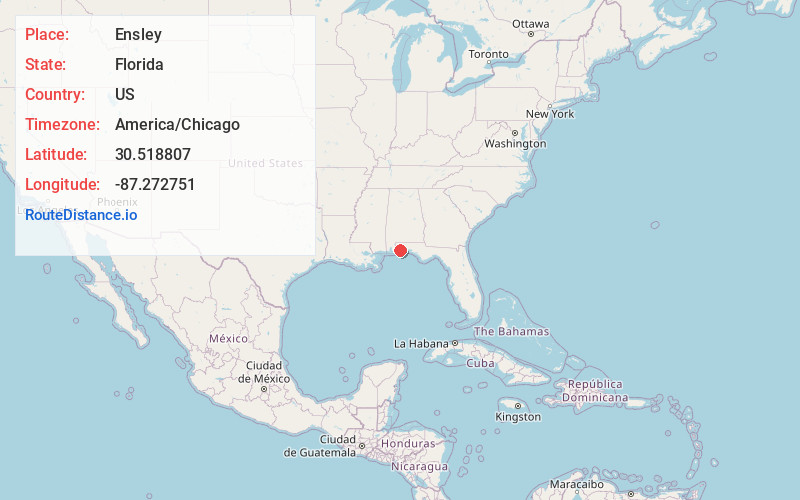
Full AddressEnsley, FL
-
Coordinates30.5188067, -87.2727509
-
LocationEnsley , Florida , US
-
TimezoneAmerica/Chicago
-
Current Local Time4:25:19 AM America/ChicagoWednesday, June 18, 2025
-
Page Views0
About Ensley
Ensley is a census-designated place in Escambia County, Florida. It is a community in Pensacola, and is located northwest of Pensacola. The population was 23,817 at the 2020 United States census, up from 20,602 at the 2010 Census. It is part of the Pensacola–Ferry Pass–Brent, Florida Metropolitan Statistical Area.
Nearby Places
Found 10 places within 50 miles

Ferry Pass
3.6 mi
5.8 km
Ferry Pass, FL
Get directions

Brent
4.1 mi
6.6 km
Brent, FL
Get directions

Bellview
4.7 mi
7.6 km
Bellview, FL
Get directions

Pensacola
8.3 mi
13.4 km
Pensacola, FL
Get directions

Pace
8.7 mi
14.0 km
Pace, FL 32571
Get directions

Navarre
22.7 mi
36.5 km
Navarre, FL
Get directions

Foley
25.7 mi
41.4 km
Foley, AL
Get directions

Fairhope
37.5 mi
60.4 km
Fairhope, AL 36532
Get directions

Daphne
38.0 mi
61.2 km
Daphne, AL
Get directions

Wright
38.0 mi
61.2 km
Wright, FL
Get directions
Location Links
Local Weather
Weather Information
Coming soon!
Location Map
Static map view of Ensley, Florida
Browse Places by Distance
Places within specific distances from Ensley
Short Distances
Long Distances
Click any distance to see all places within that range from Ensley. Distances shown in miles (1 mile ≈ 1.61 kilometers).