Distance to Baldwin, Colorado

Calculating Your Route
Just a moment while we process your request...
Location Information
-
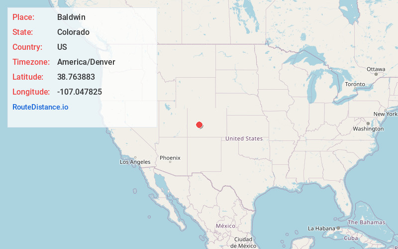
Full AddressBaldwin, CO 81230
-
Coordinates38.7638829, -107.0478253
-
LocationColorado , US
-
TimezoneAmerica/Denver
-
Current Local Time7:15:31 PM America/DenverSunday, June 22, 2025
-
Page Views0
Nearby Places
Found 10 places within 50 miles

Floresta
6.7 mi
10.8 km
Floresta, CO 81230
Get directions
Ruby
7.5 mi
12.1 km
Ruby, CO 81230
Get directions

Crested Butte
8.0 mi
12.9 km
Crested Butte, CO 81224
Get directions

Irwin
8.0 mi
12.9 km
Irwin, CO 81230
Get directions

Almont
13.0 mi
20.9 km
Almont, CO 81210
Get directions
Elkton
13.8 mi
22.2 km
Elkton, CO 81224
Get directions

Gothic
13.8 mi
22.2 km
Gothic, CO 81224
Get directions

Gunnison
16.5 mi
26.6 km
Gunnison, CO 81230
Get directions

Schofield Pass
17.4 mi
28.0 km
Schofield Pass, Colorado 81654
Get directions
Carbonate Creek
22.4 mi
36.0 km
Carbonate Creek, Marble, CO 81623
Get directions
Location Links
Local Weather
Weather Information
Coming soon!
Location Map
Static map view of Baldwin, Colorado
Browse Places by Distance
Places within specific distances from Baldwin
Short Distances
Long Distances
Click any distance to see all places within that range from Baldwin. Distances shown in miles (1 mile ≈ 1.61 kilometers).