Distance to Bandana, Kentucky

Calculating Your Route
Just a moment while we process your request...
Location Information
-
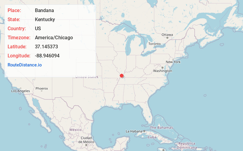
Full AddressBandana, KY
-
Coordinates37.1453729, -88.9460938
-
LocationBandana , Kentucky , US
-
TimezoneAmerica/Chicago
-
Current Local Time4:44:34 PM America/ChicagoThursday, June 26, 2025
-
Page Views1
About Bandana
Bandana is a census-designated place in Ballard County, Kentucky, United States. As of the 2020 census it had a population of 177.
Nearby Places
Found 10 places within 50 miles

La Center
5.0 mi
8.0 km
La Center, KY 42056
Get directions

Kevil
5.3 mi
8.5 km
Kevil, KY 42053
Get directions

Joppa
7.0 mi
11.3 km
Joppa, IL
Get directions

Olmsted
8.2 mi
13.2 km
Olmsted, IL 62970
Get directions

Barlow
8.5 mi
13.7 km
Barlow, KY 42024
Get directions

Karnak
10.4 mi
16.7 km
Karnak, IL 62956
Get directions

Metropolis
11.8 mi
19.0 km
Metropolis, IL
Get directions

Mound City
12.6 mi
20.3 km
Mound City, IL 62963
Get directions

Mounds
14.0 mi
22.5 km
Mounds, IL 62964
Get directions

Wickliffe
14.8 mi
23.8 km
Wickliffe, KY 42087
Get directions
Location Links
Local Weather
Weather Information
Coming soon!
Location Map
Static map view of Bandana, Kentucky
Browse Places by Distance
Places within specific distances from Bandana
Short Distances
Long Distances
Click any distance to see all places within that range from Bandana. Distances shown in miles (1 mile ≈ 1.61 kilometers).