Distance to Olmsted, Illinois

Calculating Your Route
Just a moment while we process your request...
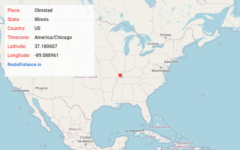
Location Information
-
Full AddressOlmsted, IL 62970
-
Coordinates37.1806073, -89.0889609
-
LocationOlmsted , Illinois , US
-
TimezoneAmerica/Chicago
-
Current Local Time4:12:35 PM America/ChicagoWednesday, June 18, 2025
-
Page Views0
About Olmsted
Olmsted is a village in Pulaski County, Illinois, along the Ohio River. The population was 299 at the 2000 census.


Nearby Places
Found 10 places within 50 miles

Pulaski
6.8 mi
10.9 km
Pulaski, IL 62976
Get directions

Mounds
7.6 mi
12.2 km
Mounds, IL 62964
Get directions

Mound City
7.7 mi
12.4 km
Mound City, IL 62963
Get directions
Ullin
8.4 mi
13.5 km
Ullin, IL 62992
Get directions

Barlow
9.2 mi
14.8 km
Barlow, KY 42024
Get directions

La Center
9.6 mi
15.4 km
La Center, KY 42056
Get directions

Karnak
10.0 mi
16.1 km
Karnak, IL 62956
Get directions

Tamms
10.7 mi
17.2 km
Tamms, IL
Get directions

Kevil
13.0 mi
20.9 km
Kevil, KY 42053
Get directions

Cairo
13.0 mi
20.9 km
Cairo, IL 62914
Get directions
Location Links
Local Weather
Weather Information
Coming soon!
Location Map
Static map view of Olmsted, Illinois
Browse Places by Distance
Places within specific distances from Olmsted
Short Distances
Long Distances
Click any distance to see all places within that range from Olmsted. Distances shown in miles (1 mile ≈ 1.61 kilometers).