Distance to Banks, Mississippi

Calculating Your Route
Just a moment while we process your request...
Location Information
-
Full AddressBanks, MS 38664
-
Coordinates34.8259319, -90.2298177
-
LocationBanks , Mississippi , US
-
TimezoneAmerica/Chicago
-
Current Local Time2:46:21 AM America/ChicagoSaturday, May 31, 2025
-
Page Views0
About Banks
Banks is a small, unincorporated community farming community in northeastern Tunica County, Mississippi, United States. It lies at the intersection of Mississippi Highway 3 and Mississippi Highway 713, several miles east of Tunica Resorts.
Ransom Byrnes first owned the land in 1877.
Nearby Places
Found 10 places within 50 miles

Marienette
3.3 mi
5.3 km
Marienette, MS 38641
Get directions
Penton
4.0 mi
6.4 km
Penton, MS 38641
Get directions
Eudora
4.6 mi
7.4 km
Eudora, MS 38632
Get directions

Tunica Resorts
4.9 mi
7.9 km
Tunica Resorts, MS 38664
Get directions
Cub Lake
5.3 mi
8.5 km
Cub Lake, MS 38632
Get directions

Lake Cormorant
5.5 mi
8.9 km
Lake Cormorant, MS 38641
Get directions
Bowdre
6.2 mi
10.0 km
Bowdre, MS 38664
Get directions
Seyppel
6.4 mi
10.3 km
Seyppel, AR 72348
Get directions

Horseshoe Lake
7.4 mi
11.9 km
Horseshoe Lake, AR 72348
Get directions
Bruins
8.1 mi
13.0 km
Bruins, AR 72348
Get directions
Location Links
Local Weather
Weather Information
Coming soon!
Location Map
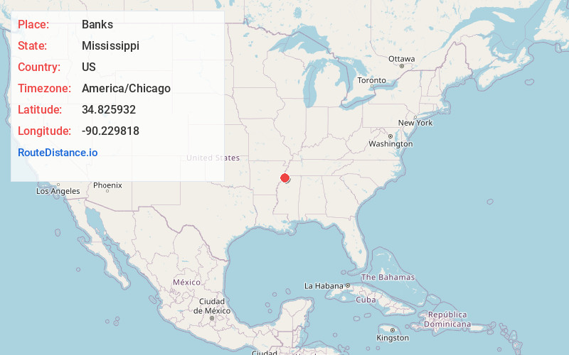
Static map view of Banks, Mississippi
Browse Places by Distance
Places within specific distances from Banks
Short Distances
Long Distances
Click any distance to see all places within that range from Banks. Distances shown in miles (1 mile ≈ 1.61 kilometers).