Distance to Seyppel, Arkansas

Calculating Your Route
Just a moment while we process your request...
Location Information
-
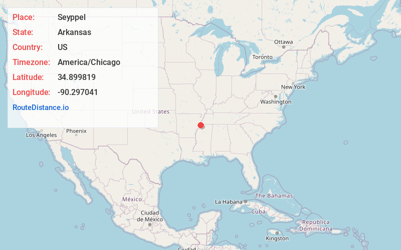
Full AddressSeyppel, AR 72348
-
Coordinates34.899819, -90.2970414
-
LocationArkansas , US
-
TimezoneAmerica/Chicago
-
Current Local Time1:21:00 AM America/ChicagoThursday, May 22, 2025
-
Page Views0
About Seyppel
Seyppel is an unincorporated community in Crittenden County, Arkansas, United States.
Highway 147 passes through Seyppel, and the Mississippi Levee borders the east side of the community. A short distance east of the levee is Seyppel Landing, located directly on the Mississippi River.
Nearby Places
Found 10 places within 50 miles

Bruins
3.2 mi
5.1 km
Bruins, AR 72348
Get directions

Lake Cormorant
4.7 mi
7.6 km
Lake Cormorant, MS 38641
Get directions
Pinckney
5.3 mi
8.5 km
Pinckney, AR 72348
Get directions

Tunica Resorts
5.8 mi
9.3 km
Tunica Resorts, MS 38664
Get directions
Bowdre
7.4 mi
11.9 km
Bowdre, MS 38664
Get directions
Belle Meade
8.1 mi
13.0 km
Belle Meade, AR 72348
Get directions
Reese
8.5 mi
13.7 km
Reese, AR 72348
Get directions
Penjur
9.1 mi
14.6 km
Penjur, AR 72348
Get directions

Walls
9.2 mi
14.8 km
Walls, MS
Get directions
Chatfield
9.3 mi
15.0 km
Chatfield, AR 72348
Get directions
Location Links
Local Weather
Weather Information
Coming soon!
Location Map
Static map view of Seyppel, Arkansas
Browse Places by Distance
Places within specific distances from Seyppel
Short Distances
Long Distances
Click any distance to see all places within that range from Seyppel. Distances shown in miles (1 mile ≈ 1.61 kilometers).