Distance to and from Bapchule, Arizona
Bapchule, Wet Camp Village, AZ 85121
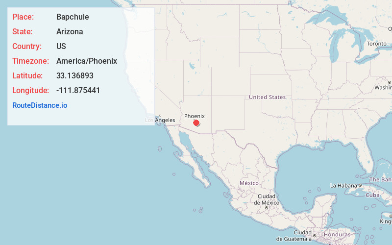
Wet Camp Village
Arizona
US
America/Phoenix
Location Information
-
Full AddressBapchule, Wet Camp Village, AZ 85121
-
Coordinates33.1368933, -111.8754405
-
NeighborhoodBapchule
-
LocationWet Camp Village , Arizona , US
-
TimezoneAmerica/Phoenix
-
Current Local Time4:13:18 PM America/PhoenixWednesday, May 7, 2025
-
Page Views0
Directions to Nearest Cities
Casa Blanca
Casa Blanca, AZ
1.3 mi
Sweetwater
Sweetwater, AZ 85121
2.0 mi
Sweet Water Village
Sweet Water Village, AZ 85121
2.5 mi
Stotonic Village
Stotonic Village, AZ
3.7 mi
Goodyear Village
Goodyear Village, AZ
4.1 mi
Hohokam Pima National Monument
Hohokam Pima National Monument, Chandler, AZ 85249
4.5 mi
About Bapchule
Bapchule is an unincorporated community in Pinal and Maricopa counties, Arizona, United States. Although Bapchule is unincorporated, it has a post office with the ZIP code of 85121.
It lies in the Gila River Indian Community, south of the Phoenix Metropolitan Area.
Nearby Places
Found 10 places within 50 miles

Casa Blanca
1.3 mi
2.1 km
Casa Blanca, AZ
Get directions

Sweetwater
2.0 mi
3.2 km
Sweetwater, AZ 85121
Get directions
Sweet Water Village
2.5 mi
4.0 km
Sweet Water Village, AZ 85121
Get directions
Stotonic Village
3.7 mi
6.0 km
Stotonic Village, AZ
Get directions
Goodyear Village
4.1 mi
6.6 km
Goodyear Village, AZ
Get directions
Hohokam Pima National Monument
4.5 mi
7.2 km
Hohokam Pima National Monument, Chandler, AZ 85249
Get directions

Lower Santan Village
4.7 mi
7.6 km
Lower Santan Village, AZ
Get directions

Sun Lakes
5.6 mi
9.0 km
Sun Lakes, AZ 85248
Get directions
Ocotillo
7.4 mi
11.9 km
Ocotillo, Chandler, AZ 85248
Get directions

Sacaton
8.9 mi
14.3 km
Sacaton, AZ
Get directions
Casa Blanca
1.3 mi
2.1 km
Casa Blanca, AZ
Sweetwater
2.0 mi
3.2 km
Sweetwater, AZ 85121
Sweet Water Village
2.5 mi
4.0 km
Sweet Water Village, AZ 85121
Stotonic Village
3.7 mi
6.0 km
Stotonic Village, AZ
Goodyear Village
4.1 mi
6.6 km
Goodyear Village, AZ
Hohokam Pima National Monument
4.5 mi
7.2 km
Hohokam Pima National Monument, Chandler, AZ 85249
Lower Santan Village
4.7 mi
7.6 km
Lower Santan Village, AZ
Sun Lakes
5.6 mi
9.0 km
Sun Lakes, AZ 85248
Ocotillo
7.4 mi
11.9 km
Ocotillo, Chandler, AZ 85248
Sacaton
8.9 mi
14.3 km
Sacaton, AZ
Location Links
Local Weather
Weather Information
Coming soon!
Location Map
Static map view of Bapchule, Arizona
Browse Places by Distance
Places within specific distances from Bapchule
Short Distances
Long Distances
Click any distance to see all places within that range from Bapchule. Distances shown in miles (1 mile ≈ 1.61 kilometers).