Distance to Baraga Township, Michigan

Calculating Your Route
Just a moment while we process your request...
Location Information
-
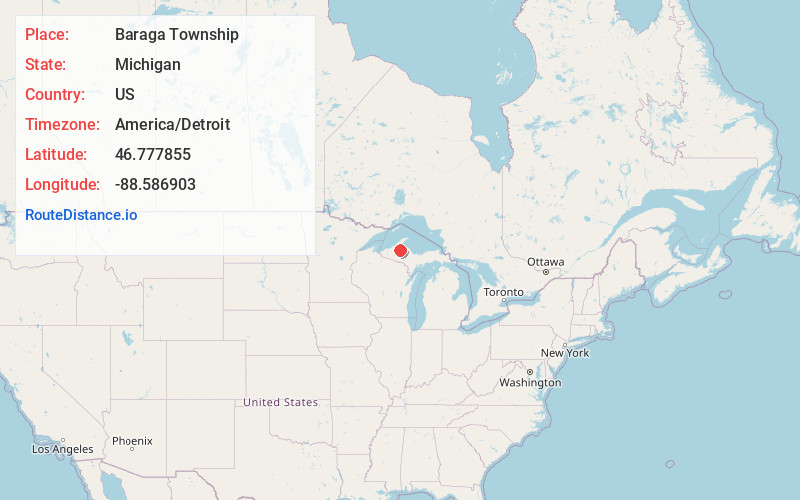
Full AddressBaraga Township, MI
-
Coordinates46.7778547, -88.5869031
-
LocationBaraga Township , Michigan , US
-
TimezoneAmerica/Detroit
-
Current Local Time7:27:32 AM America/DetroitSunday, June 22, 2025
-
Page Views0
About Baraga Township
Baraga Township is a civil township of Baraga County in the U.S. state of Michigan. As of the 2020 census, the township population was 3,478. The village of Baraga is located in the southeast corner of the township. Baraga State Park is also located within the township.
Nearby Places
Found 10 places within 50 miles

Pelkie
3.4 mi
5.5 km
Pelkie, MI 49958
Get directions

Bear Town
4.2 mi
6.8 km
Bear Town, MI 49908
Get directions

Baraga
4.6 mi
7.4 km
Baraga, MI 49908
Get directions
Assinins
5.6 mi
9.0 km
Assinins, MI 49908
Get directions

L'Anse
6.5 mi
10.5 km
L'Anse, MI 49946
Get directions

Keweenaw Bay
7.6 mi
12.2 km
Keweenaw Bay, MI 49908
Get directions
Alston
7.9 mi
12.7 km
Alston, MI 49958
Get directions
Zeba
8.3 mi
13.4 km
Zeba, MI 49946
Get directions
Laird Township
9.5 mi
15.3 km
Laird Township, MI
Get directions
Nisula
9.9 mi
15.9 km
Nisula, MI 49952
Get directions
Location Links
Local Weather
Weather Information
Coming soon!
Location Map
Static map view of Baraga Township, Michigan
Browse Places by Distance
Places within specific distances from Baraga Township
Short Distances
Long Distances
Click any distance to see all places within that range from Baraga Township. Distances shown in miles (1 mile ≈ 1.61 kilometers).