Distance to Barclay, Nevada

Calculating Your Route
Just a moment while we process your request...
Location Information
-
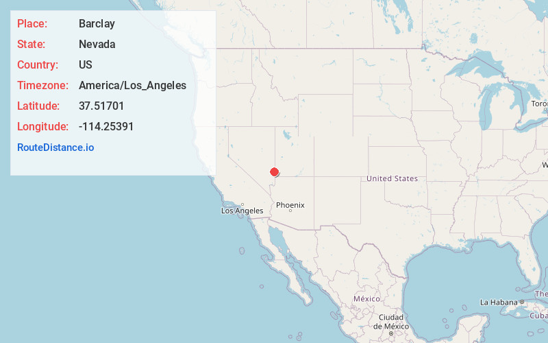
Full AddressBarclay, NV 89008
-
Coordinates37.5170099, -114.2539095
-
LocationBarclay , Nevada , US
-
TimezoneAmerica/Los_Angeles
-
Current Local Time12:53:02 AM America/Los_AngelesWednesday, June 18, 2025
-
Page Views0
About Barclay
Barclay is a town in Lincoln County, Nevada, United States. Originally a Mormon settlement in the late 1860s, it has few residents and appears on several ghost town lists. The Barclay post office closed in 1910.
Nearby Places
Found 10 places within 50 miles

Joseco
1.7 mi
2.7 km
Joseco, NV 89008
Get directions
Islen
3.8 mi
6.1 km
Islen, NV 89008
Get directions
Acoma
5.0 mi
8.0 km
Acoma, NV
Get directions
Brown
9.1 mi
14.6 km
Brown, NV
Get directions
Eccles
11.9 mi
19.2 km
Eccles, NV 89008
Get directions
Crestline
12.3 mi
19.8 km
Crestline, NV
Get directions
Horseshoe Bend
13.4 mi
21.6 km
Horseshoe Bend, NV
Get directions

Caliente
15.7 mi
25.3 km
Caliente, NV 89008
Get directions
Beaverdam
16.1 mi
25.9 km
Beaverdam, NV 89008
Get directions
Indian Cove
16.3 mi
26.2 km
Indian Cove, NV 89008
Get directions
Location Links
Local Weather
Weather Information
Coming soon!
Location Map
Static map view of Barclay, Nevada
Browse Places by Distance
Places within specific distances from Barclay
Short Distances
Long Distances
Click any distance to see all places within that range from Barclay. Distances shown in miles (1 mile ≈ 1.61 kilometers).