Distance to Barnsdall, Oklahoma

Calculating Your Route
Just a moment while we process your request...
Location Information
-
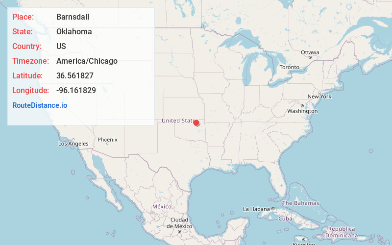
Full AddressBarnsdall, OK 74002
-
Coordinates36.5618268, -96.1618291
-
LocationBarnsdall , Oklahoma , US
-
TimezoneAmerica/Chicago
-
Current Local Time9:38:37 AM America/ChicagoThursday, July 3, 2025
-
Page Views0
About Barnsdall
Barnsdall is a city in Osage County, Oklahoma, United States. As of the 2020 census, the population of the city was 1,034.


Nearby Places
Found 10 places within 50 miles

Pawhuska
12.1 mi
19.5 km
Pawhuska, OK 74056
Get directions

Skiatook
16.1 mi
25.9 km
Skiatook, OK
Get directions

Bartlesville
16.3 mi
26.2 km
Bartlesville, OK
Get directions

Hominy
16.5 mi
26.6 km
Hominy, OK 74035
Get directions

Dewey
20.5 mi
33.0 km
Dewey, OK
Get directions

Sperry
20.6 mi
33.2 km
Sperry, OK
Get directions

Collinsville
22.5 mi
36.2 km
Collinsville, OK 74021
Get directions

Cleveland
24.2 mi
38.9 km
Cleveland, OK 74020
Get directions

Turley
24.4 mi
39.3 km
Turley, OK
Get directions

Oologah
26.4 mi
42.5 km
Oologah, OK 74053
Get directions
Location Links
Local Weather
Weather Information
Coming soon!
Location Map
Static map view of Barnsdall, Oklahoma
Browse Places by Distance
Places within specific distances from Barnsdall
Short Distances
Long Distances
Click any distance to see all places within that range from Barnsdall. Distances shown in miles (1 mile ≈ 1.61 kilometers).