Distance to Barriers Mill, North Carolina

Calculating Your Route
Just a moment while we process your request...
Location Information
-
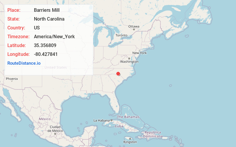
Full AddressBarriers Mill, NC 28124
-
Coordinates35.3568086, -80.4278412
-
LocationNorth Carolina , US
-
TimezoneAmerica/New_York
-
Current Local Time2:06:17 AM America/New_YorkWednesday, June 18, 2025
-
Page Views0
Nearby Places
Found 10 places within 50 miles

Mt Pleasant
3.0 mi
4.8 km
Mt Pleasant, NC
Get directions

Georgeville
3.4 mi
5.5 km
Georgeville, NC 28025
Get directions
Lambert
4.9 mi
7.9 km
Lambert, NC 28097
Get directions

Locust
6.7 mi
10.8 km
Locust, NC
Get directions
Bloomington
7.1 mi
11.4 km
Bloomington, NC 28001
Get directions
Red Cross
7.4 mi
11.9 km
Red Cross, NC
Get directions
Cold Water
8.0 mi
12.9 km
Cold Water, NC 28025
Get directions
Watts Crossroads
8.1 mi
13.0 km
Watts Crossroads, NC 28138
Get directions
Plyer
8.3 mi
13.4 km
Plyer, NC 28001
Get directions
Pauls Crossing
8.3 mi
13.4 km
Pauls Crossing, NC 28137
Get directions
Location Links
Local Weather
Weather Information
Coming soon!
Location Map
Static map view of Barriers Mill, North Carolina
Browse Places by Distance
Places within specific distances from Barriers Mill
Short Distances
Long Distances
Click any distance to see all places within that range from Barriers Mill. Distances shown in miles (1 mile ≈ 1.61 kilometers).