Distance to Bartow, West Virginia

Calculating Your Route
Just a moment while we process your request...
Location Information
-
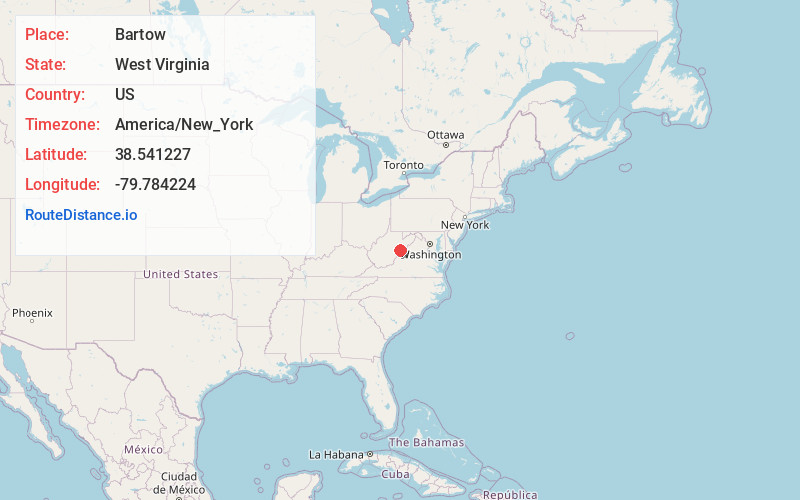
Full AddressBartow, WV 24920
-
Coordinates38.5412272, -79.7842238
-
LocationBartow , West Virginia , US
-
TimezoneAmerica/New_York
-
Current Local Time5:07:07 PM America/New_YorkWednesday, June 18, 2025
-
Page Views0
About Bartow
Bartow is a census-designated place in Pocahontas County, West Virginia, United States. The population was 111 at the 2010 census.
Bartow is situated along U.S. Route 250 and West Virginia Route 92 and on the East Fork Greenbrier River, approximately 2 miles east of Durbin. It has a post office with ZIP code 24920.


Nearby Places
Found 10 places within 50 miles

Frank
1.4 mi
2.3 km
Frank, WV
Get directions

Durbin
2.2 mi
3.5 km
Durbin, WV 26264
Get directions

Arbovale
7.5 mi
12.1 km
Arbovale, WV 24915
Get directions

Monterey
14.2 mi
22.9 km
Monterey, VA 24465
Get directions

Huttonsville
15.8 mi
25.4 km
Huttonsville, WV 26273
Get directions

Mill Creek
16.5 mi
26.6 km
Mill Creek, WV 26280
Get directions

Beverly
21.3 mi
34.3 km
Beverly, WV
Get directions

Franklin
25.5 mi
41.0 km
Franklin, WV 26807
Get directions
Coalton
26.5 mi
42.6 km
Coalton, WV 26257
Get directions

Elkins
26.8 mi
43.1 km
Elkins, WV 26241
Get directions
Location Links
Local Weather
Weather Information
Coming soon!
Location Map
Static map view of Bartow, West Virginia
Browse Places by Distance
Places within specific distances from Bartow
Short Distances
Long Distances
Click any distance to see all places within that range from Bartow. Distances shown in miles (1 mile ≈ 1.61 kilometers).