Distance to Monterey, Virginia

Calculating Your Route
Just a moment while we process your request...
Location Information
-
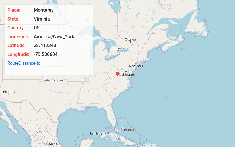
Full AddressMonterey, VA 24465
-
Coordinates38.4123429, -79.5806036
-
LocationMonterey , Virginia , US
-
TimezoneAmerica/New_York
-
Current Local Time8:36:58 PM America/New_YorkThursday, June 5, 2025
-
Page Views0
About Monterey
Monterey is a town and the county seat of Highland County, Virginia, United States. The population was 165 at the 2020 census.


Nearby Places
Found 10 places within 50 miles

Durbin
16.1 mi
25.9 km
Durbin, WV 26264
Get directions

Deerfield
17.6 mi
28.3 km
Deerfield, VA 24432
Get directions

Franklin
20.9 mi
33.6 km
Franklin, WV 26807
Get directions

Brandywine
23.4 mi
37.7 km
Brandywine, WV 26802
Get directions

Craigsville
25.4 mi
40.9 km
Craigsville, VA 24430
Get directions

Goshen
29.7 mi
47.8 km
Goshen, VA 24439
Get directions

Huttonsville
29.9 mi
48.1 km
Huttonsville, WV 26273
Get directions

Mill Creek
30.5 mi
49.1 km
Mill Creek, WV 26280
Get directions

Marlinton
30.8 mi
49.6 km
Marlinton, WV
Get directions

Hot Springs
31.6 mi
50.9 km
Hot Springs, VA 24445
Get directions
Location Links
Local Weather
Weather Information
Coming soon!
Location Map
Static map view of Monterey, Virginia
Browse Places by Distance
Places within specific distances from Monterey
Short Distances
Long Distances
Click any distance to see all places within that range from Monterey. Distances shown in miles (1 mile ≈ 1.61 kilometers).