Distance to Bat Cave, North Carolina

Calculating Your Route
Just a moment while we process your request...
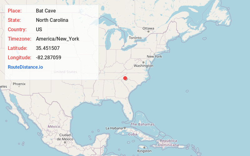
Location Information
-
Full AddressBat Cave, NC 28792
-
Coordinates35.4515073, -82.2870588
-
LocationBat Cave , North Carolina , US
-
TimezoneAmerica/New_York
-
Current Local Time6:17:10 AM America/New_YorkWednesday, June 18, 2025
-
Page Views0
About Bat Cave
Bat Cave is an unincorporated community in Henderson County, North Carolina, United States and is part of the Asheville Metropolitan Statistical Area.


Nearby Places
Found 10 places within 50 miles

Bearwallow
1.8 mi
2.9 km
Bearwallow, NC 28792
Get directions

Shumont
2.1 mi
3.4 km
Shumont, NC 28711
Get directions

Chimney Rock
2.4 mi
3.9 km
Chimney Rock, NC
Get directions

Gerton
3.9 mi
6.3 km
Gerton, NC 28735
Get directions

Lake Lure
4.9 mi
7.9 km
Lake Lure, NC
Get directions

Edneyville
5.2 mi
8.4 km
Edneyville, NC 28792
Get directions
Horace
5.5 mi
8.9 km
Horace, NC 28792
Get directions
Copper Ford
6.5 mi
10.5 km
Copper Ford, NC 28792
Get directions
Uree
7.0 mi
11.3 km
Uree, NC 28746
Get directions

Fruitland
7.1 mi
11.4 km
Fruitland, NC 28792
Get directions
Location Links
Local Weather
Weather Information
Coming soon!
Location Map
Static map view of Bat Cave, North Carolina
Browse Places by Distance
Places within specific distances from Bat Cave
Short Distances
Long Distances
Click any distance to see all places within that range from Bat Cave. Distances shown in miles (1 mile ≈ 1.61 kilometers).