Distance to Bates, Arkansas

Calculating Your Route
Just a moment while we process your request...
Location Information
-
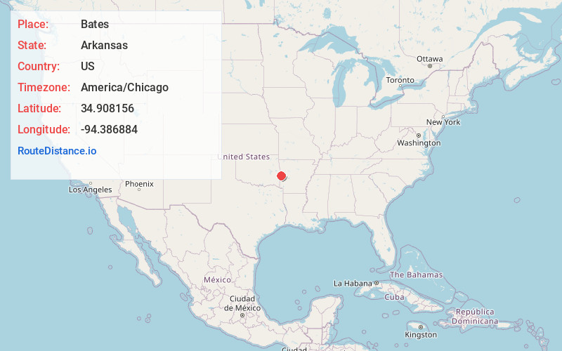
Full AddressBates, AR 72958
-
Coordinates34.9081561, -94.3868844
-
LocationBates , Arkansas , US
-
TimezoneAmerica/Chicago
-
Current Local Time8:11:43 AM America/ChicagoMonday, June 23, 2025
-
Page Views0
About Bates
Bates is an unincorporated community in Scott County, Arkansas, United States. It is the location or nearest community of Bates School, at 1074 Bates School Rd., which is listed on the U.S. National Register of Historic Places.

Nearby Places
Found 10 places within 50 miles

Gipson
0.7 mi
1.1 km
Gipson, AR 72958
Get directions

Hartford
7.9 mi
12.7 km
Hartford, AR 72938
Get directions
Forrester
8.3 mi
13.4 km
Forrester, OK 74937
Get directions
Monroe
9.4 mi
15.1 km
Monroe, OK
Get directions

Heavener
12.3 mi
19.8 km
Heavener, OK 74937
Get directions
Midland
12.9 mi
20.8 km
Midland, AR
Get directions

Mansfield
13.0 mi
20.9 km
Mansfield, AR 72944
Get directions
Huntington
13.9 mi
22.4 km
Huntington, AR 72940
Get directions
Fox Hill
14.1 mi
22.7 km
Fox Hill, AR 72940
Get directions

Howe
14.5 mi
23.3 km
Howe, OK 74940
Get directions
Location Links
Local Weather
Weather Information
Coming soon!
Location Map
Static map view of Bates, Arkansas
Browse Places by Distance
Places within specific distances from Bates
Short Distances
Long Distances
Click any distance to see all places within that range from Bates. Distances shown in miles (1 mile ≈ 1.61 kilometers).