Distance to Monroe, Oklahoma

Calculating Your Route
Just a moment while we process your request...
Location Information
-
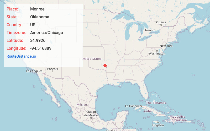
Full AddressMonroe, OK
-
Coordinates34.9925995, -94.5168894
-
LocationMonroe , Oklahoma , US
-
TimezoneAmerica/Chicago
-
Current Local Time1:57:41 PM America/ChicagoTuesday, June 24, 2025
-
Page Views0
About Monroe
Monroe is an unincorporated community and census-designated place in far eastern Le Flore County, Oklahoma, United States.
A post office was established at Monroe, Indian Territory, on February 25, 1881. It was named for its first postmaster, Simon Monroe Griffith.
Nearby Places
Found 10 places within 50 miles

Poteau
7.4 mi
11.9 km
Poteau, OK
Get directions

Howe
7.4 mi
11.9 km
Howe, OK 74940
Get directions

Hartford
7.9 mi
12.7 km
Hartford, AR 72938
Get directions

Heavener
8.3 mi
13.4 km
Heavener, OK 74937
Get directions

Cameron
9.8 mi
15.8 km
Cameron, OK 74932
Get directions

Midland
11.5 mi
18.5 km
Midland, AR
Get directions

Wister
11.9 mi
19.2 km
Wister, OK 74966
Get directions

Shady Point
12.4 mi
20.0 km
Shady Point, OK 74956
Get directions
Rock Island
13.3 mi
21.4 km
Rock Island, OK
Get directions
Hackett
14.6 mi
23.5 km
Hackett, AR 72937
Get directions
Location Links
Local Weather
Weather Information
Coming soon!
Location Map
Static map view of Monroe, Oklahoma
Browse Places by Distance
Places within specific distances from Monroe
Short Distances
Long Distances
Click any distance to see all places within that range from Monroe. Distances shown in miles (1 mile ≈ 1.61 kilometers).