Distance to Wister, Oklahoma

Calculating Your Route
Just a moment while we process your request...
Location Information
-
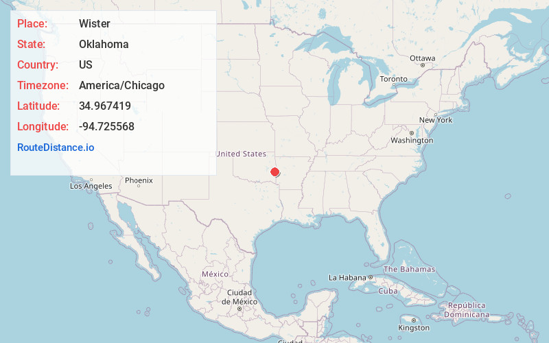
Full AddressWister, OK 74966
-
Coordinates34.9674192, -94.7255679
-
LocationWister , Oklahoma , US
-
TimezoneAmerica/Chicago
-
Current Local Time4:51:27 AM America/ChicagoThursday, June 5, 2025
-
Page Views0
About Wister
Wister is a town in Le Flore County, Oklahoma, United States. It is part of the Fort Smith metropolitan area. The population was 1,102 at the 2010 census. Wister is named for Gutman G. Wister, an official with the Choctaw, Oklahoma and Gulf Railroad.


Nearby Places
Found 10 places within 50 miles

Poteau
8.3 mi
13.4 km
Poteau, OK
Get directions

Heavener
8.5 mi
13.7 km
Heavener, OK 74937
Get directions

Shady Point
11.9 mi
19.2 km
Shady Point, OK 74956
Get directions

Panama
14.1 mi
22.7 km
Panama, OK
Get directions

Spiro
19.8 mi
31.9 km
Spiro, OK 74959
Get directions

Pocola
23.0 mi
37.0 km
Pocola, OK
Get directions

Mansfield
27.7 mi
44.6 km
Mansfield, AR 72944
Get directions

Stigler
29.9 mi
48.1 km
Stigler, OK 74462
Get directions

Muldrow
31.2 mi
50.2 km
Muldrow, OK 74948
Get directions

Arkoma
31.3 mi
50.4 km
Arkoma, OK 74901
Get directions
Location Links
Local Weather
Weather Information
Coming soon!
Location Map
Static map view of Wister, Oklahoma
Browse Places by Distance
Places within specific distances from Wister
Short Distances
Long Distances
Click any distance to see all places within that range from Wister. Distances shown in miles (1 mile ≈ 1.61 kilometers).